File:Freising 1816.png
Jump to navigation
Jump to search

Size of this preview: 454 × 599 pixels. Other resolutions: 182 × 240 pixels | 363 × 480 pixels | 582 × 768 pixels | 775 × 1,024 pixels | 1,551 × 2,048 pixels | 4,226 × 5,580 pixels.
Original file (4,226 × 5,580 pixels, file size: 29.12 MB, MIME type: image/png)
Captions
Captions
Add a one-line explanation of what this file represents
Summary
[edit]
| Description |
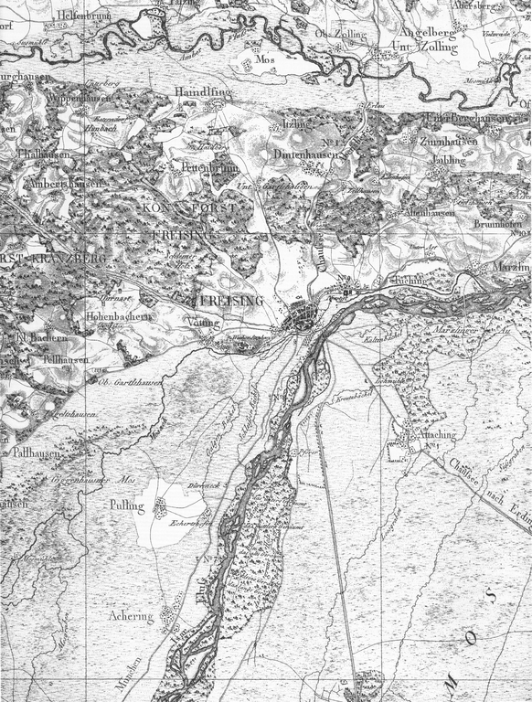
Deutsch: Freising und Umgebung auf einer Karte von 1816 |
| Date | |
| Source |
|
| Author | Unknown author |
Licensing
[edit]
|
This work is in the public domain in its country of origin and other countries and areas where the copyright term is the author's life plus 100 years or fewer. | |
| This file has been identified as being free of known restrictions under copyright law, including all related and neighboring rights. | |
File history
Click on a date/time to view the file as it appeared at that time.
| Date/Time | Thumbnail | Dimensions | User | Comment | |
|---|---|---|---|---|---|
| current | 16:43, 16 January 2013 | | 4,226 × 5,580 (29.12 MB) | Vuxi (talk | contribs) | User created page with UploadWizard |
You cannot overwrite this file.
File usage on Commons
There are no pages that use this file.