File:Frankfurt Stadtplan um 1840.jpg
Jump to navigation
Jump to search
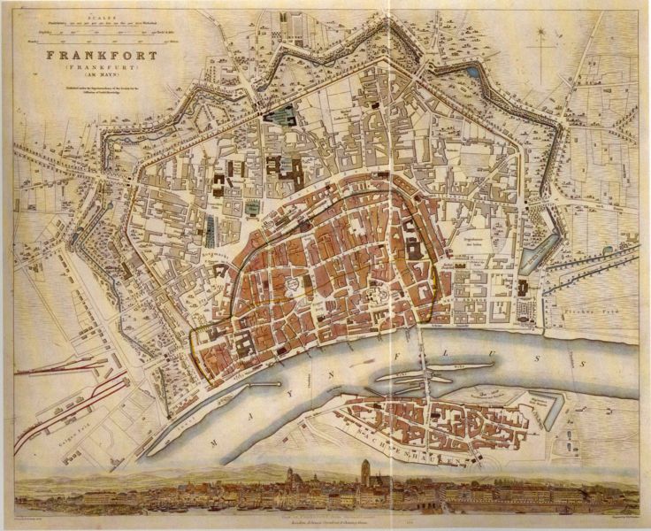
Size of this preview: 736 × 600 pixels. Other resolutions: 295 × 240 pixels | 589 × 480 pixels | 942 × 768 pixels | 1,256 × 1,024 pixels | 2,513 × 2,048 pixels | 2,813 × 2,293 pixels.
Original file (2,813 × 2,293 pixels, file size: 2.57 MB, MIME type: image/jpeg)
Captions
Captions
Add a one-line explanation of what this file represents
Summary
[edit]
| Description |
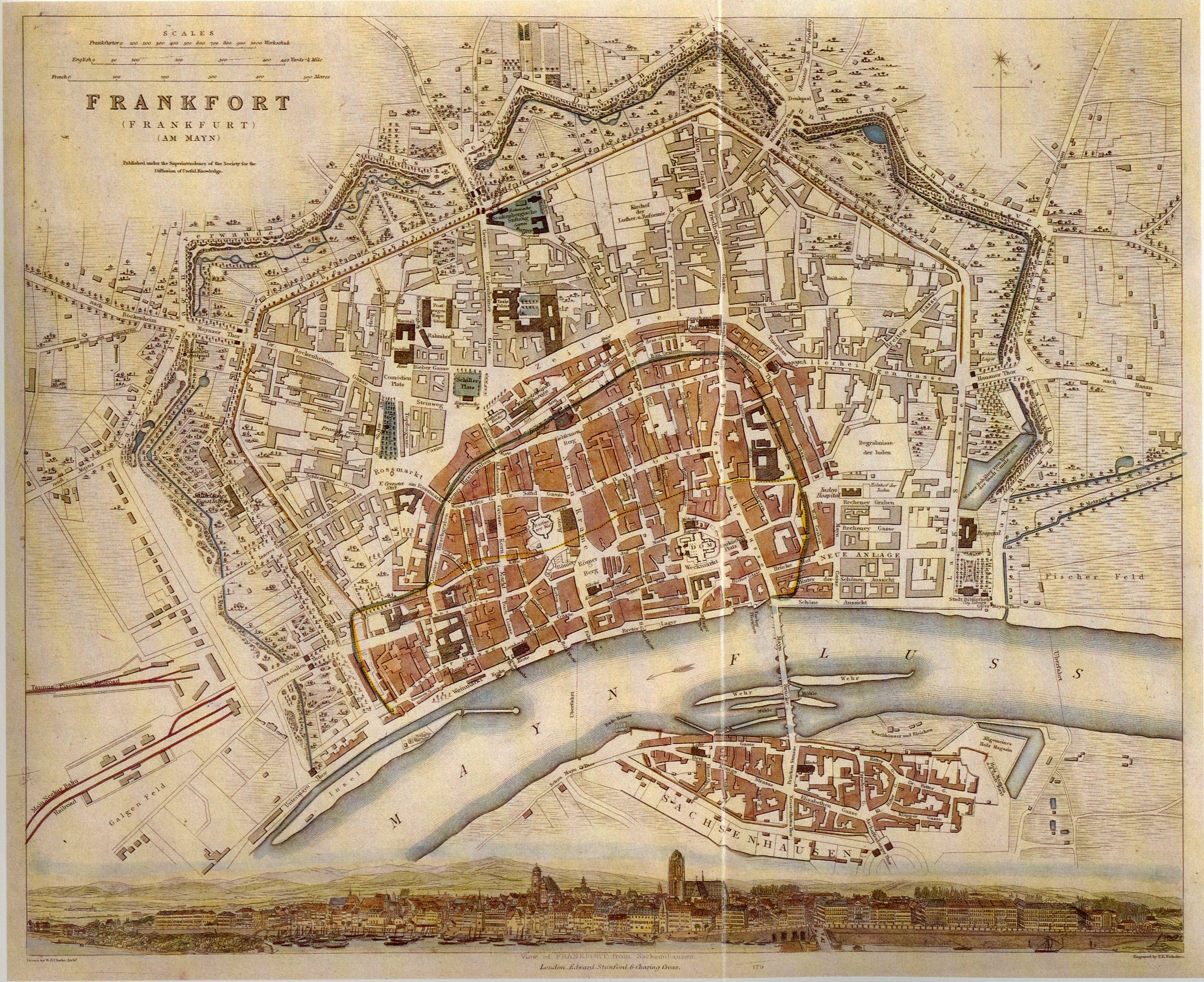
Deutsch: Englischer Stadtplan der Freien Stadt Frankfurt, um 1840
"Published under the Superintendence of the Society for the Diffusion of useful knowledge" |
|||||||||||||||||||
| Date | circa 1840 | |||||||||||||||||||
| Creator |
|
|||||||||||||||||||
| Geotemporal data | ||||||||||||||||||||
| Map location | Frankfurt | |||||||||||||||||||
| Georeferencing | ||||||||||||||||||||
| Other versions | Derivative works of this file: Frankfurt Stadtplan um 1840 jewish cemetery.png | |||||||||||||||||||
Licensing
[edit]
|
This work is in the public domain in its country of origin and other countries and areas where the copyright term is the author's life plus 70 years or fewer. | |
| This file has been identified as being free of known restrictions under copyright law, including all related and neighboring rights. | |
File history
Click on a date/time to view the file as it appeared at that time.
| Date/Time | Thumbnail | Dimensions | User | Comment | |
|---|---|---|---|---|---|
| current | 20:33, 13 February 2007 | | 2,813 × 2,293 (2.57 MB) | Flibbertigibbet (talk | contribs) | Frankfurt am Main, Germany {{deutsch}} Englischer Stadtplan der Freien Stadt Frankfurt, um 1840 "Published under the Superintendence of the Society for the Diffusion of useful knowledge" category:Maps of Frankfurt |
You cannot overwrite this file.
File usage on Commons
The following 6 pages use this file:
File usage on other wikis
The following other wikis use this file:
- Usage on ar.wikipedia.org
- Usage on ast.wikipedia.org
- Usage on el.wikipedia.org
- Usage on en.wikipedia.org
- Usage on et.wikipedia.org
- Usage on gl.wikipedia.org
- Usage on mk.wikipedia.org
- Usage on uk.wikipedia.org
- Usage on www.wikidata.org