File:Footpath beside the Birket-by-David-Quinn.jpg
Jump to navigation
Jump to search
No higher resolution available.
Footpath_beside_the_Birket-by-David-Quinn.jpg (640 × 480 pixels, file size: 75 KB, MIME type: image/jpeg)
Captions
Captions
Add a one-line explanation of what this file represents
Summary
[edit]
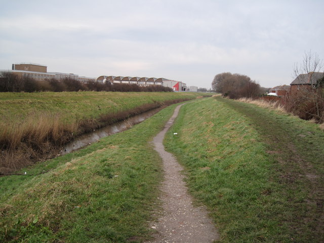
| Description | Footpath beside the Birket. A footpath between Reeds Lane, Leasowe and Pasture Road, Moreton. The path is labelled as part of the national cycle network route 56, however this passes through Wallasey to the east of here. The signpost on the Leasowe end of the path also labels the path as Route 56 of the network, but the 56 is crossed out. The former Cadbury factory turned biscuit factory is located in the background. |
| Date | |
| Source | From geograph.org.uk |
| Author | David Quinn |
| Permission (Reusing this file) |
Creative Commons Attribution Share-alike license 2.0 |
| Attribution (required by the license) | David Quinn / Footpath beside the Birket / |
| Camera location | | View this and other nearby images on: OpenStreetMap |
|---|
Licensing
[edit]

|
This image was taken from the Geograph project collection. See this photograph's page on the Geograph website for the photographer's contact details. The copyright on this image is owned by David Quinn and is licensed for reuse under the Creative Commons Attribution-ShareAlike 2.0 license.
|
This file is licensed under the Creative Commons Attribution-Share Alike 2.0 Generic license.
Attribution: David Quinn
- You are free:
- to share – to copy, distribute and transmit the work
- to remix – to adapt the work
- Under the following conditions:
- attribution – You must give appropriate credit, provide a link to the license, and indicate if changes were made. You may do so in any reasonable manner, but not in any way that suggests the licensor endorses you or your use.
- share alike – If you remix, transform, or build upon the material, you must distribute your contributions under the same or compatible license as the original.
File history
Click on a date/time to view the file as it appeared at that time.
| Date/Time | Thumbnail | Dimensions | User | Comment | |
|---|---|---|---|---|---|
| current | 11:36, 10 November 2009 | | 640 × 480 (75 KB) | Benkid77 (talk | contribs) | == Summary == {{Information |Description=Footpath beside the Birket. A footpath between Reeds Lane, Leasowe and Pasture Road, Moreton. The path is labelled as part of the national cycle network route 56, however this passes through Wallasey to the east of |
You cannot overwrite this file.
File usage on Commons
There are no pages that use this file.