File:Footbridge over Latchmore Brook in Claypits Bottom - geograph.org.uk - 775164.jpg
Jump to navigation
Jump to search
No higher resolution available.
Footbridge_over_Latchmore_Brook_in_Claypits_Bottom_-_geograph.org.uk_-_775164.jpg (640 × 427 pixels, file size: 142 KB, MIME type: image/jpeg)
Captions
Captions
Add a one-line explanation of what this file represents
Summary
[edit]
| Description |
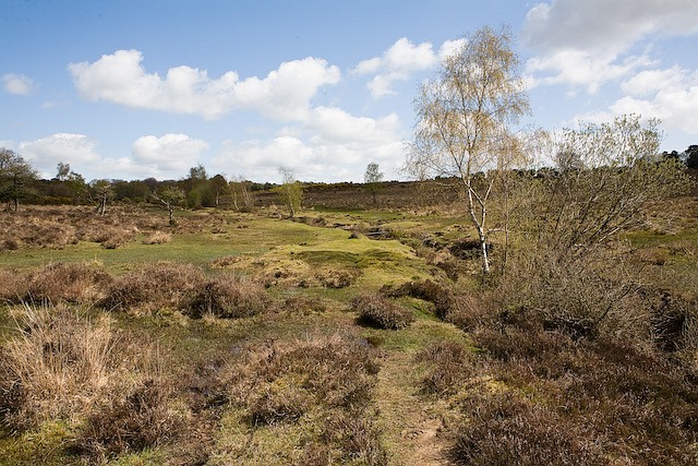
English: Footbridge over Latchmore Brook in Claypits Bottom Looking upstream towards the footbridge. Lumpiness of the ground is caused by spoil heaps from earlier digging out of the brook. |
| Date | |
| Source | From geograph.org.uk |
| Author | Peter Facey |
| Attribution (required by the license) | Peter Facey / Footbridge over Latchmore Brook in Claypits Bottom / |
| Camera location | | View this and other nearby images on: OpenStreetMap |
|---|
_heading:45.00&language=en)
| Object location | | View this and other nearby images on: OpenStreetMap |
|---|
_heading:45.00&language=en)
Licensing
[edit]

|
This image was taken from the Geograph project collection. See this photograph's page on the Geograph website for the photographer's contact details. The copyright on this image is owned by Peter Facey and is licensed for reuse under the Creative Commons Attribution-ShareAlike 2.0 license.
|
This file is licensed under the Creative Commons Attribution-Share Alike 2.0 Generic license.
Attribution: Peter Facey
- You are free:
- to share – to copy, distribute and transmit the work
- to remix – to adapt the work
- Under the following conditions:
- attribution – You must give appropriate credit, provide a link to the license, and indicate if changes were made. You may do so in any reasonable manner, but not in any way that suggests the licensor endorses you or your use.
- share alike – If you remix, transform, or build upon the material, you must distribute your contributions under the same or compatible license as the original.
- Remove redundant categories and try to put this image in the most specific category/categories
- Remove this template
- The location categories are based on information from this geonames tool and this OpenStreetMap tool combined with a database. You can also have a look at this tool from mysociety.
- The topic category from Geograph was Brook (find similar images at Geograph)
File history
Click on a date/time to view the file as it appeared at that time.
| Date/Time | Thumbnail | Dimensions | User | Comment | |
|---|---|---|---|---|---|
| current | 21:50, 19 February 2011 | | 640 × 427 (142 KB) | GeographBot (talk | contribs) | == {{int:filedesc}} == {{Information |description={{en|1=Footbridge over Latchmore Brook in Claypits Bottom Looking upstream towards the footbridge. Lumpiness of the ground is caused by spoil heaps from earlier digging out of the brook.}} |date=2008-04-23 |
You cannot overwrite this file.
File usage on Commons
There are no pages that use this file.