File:Football Practice Facility Across from Spartan Stadium, Home of the Michigan State University Spartans, East Lansing, Michigan (21533604939).jpg
Original file (4,000 × 3,000 pixels, file size: 2.2 MB, MIME type: image/jpeg)
Captions
Captions
Summary
[edit].jpg&action=edit§ion=1)
| Description |
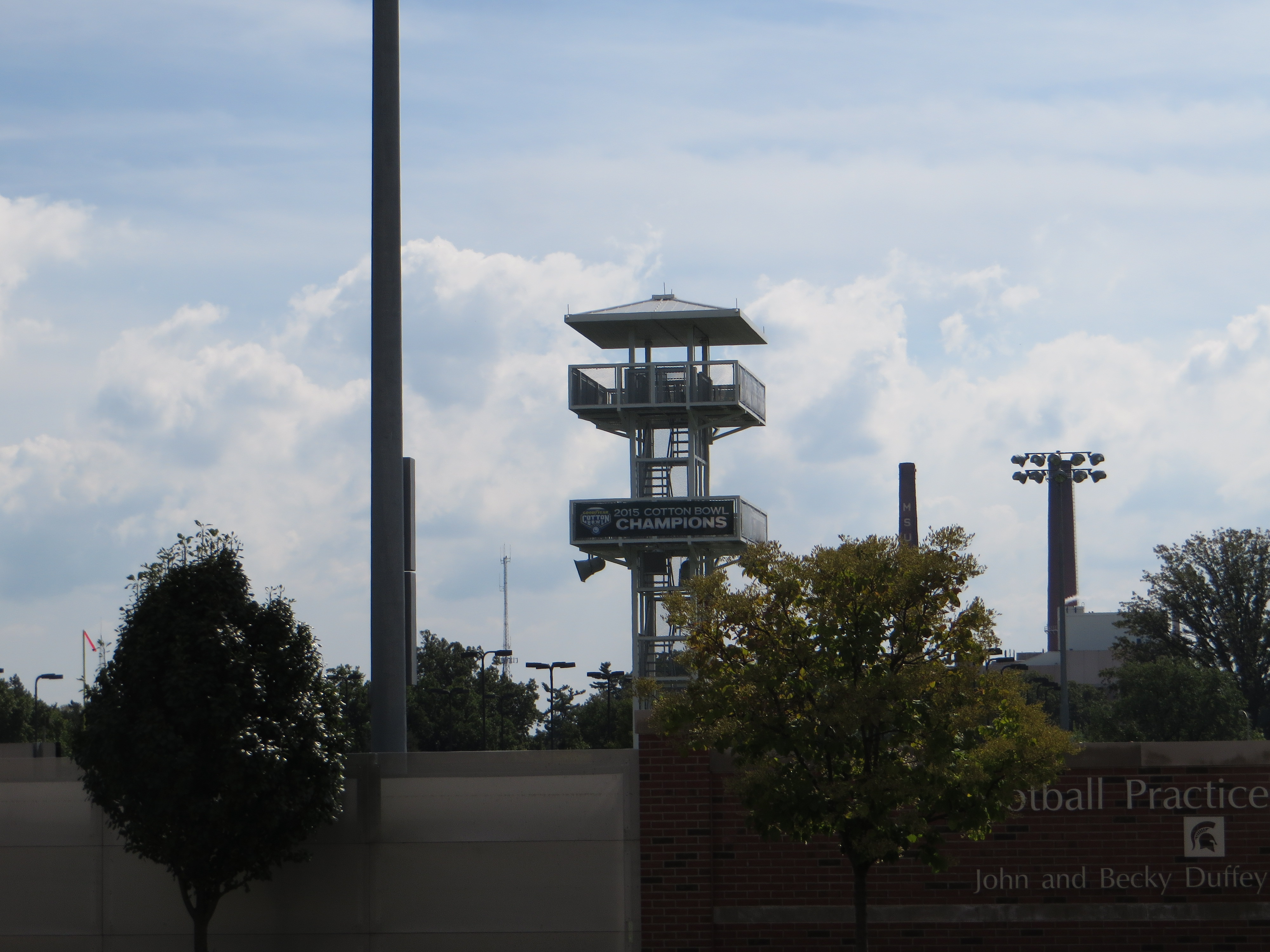
The Michigan State Spartans football program represents the Michigan State University in college football at the NCAA Division I Football Bowl Subdivision level. The Spartans are members of the Big Ten Conference. Michigan State claims a total of six national championships (1951, 1952, 1955, 1957, 1965, and 1966); the AP Poll voted Michigan State as national champion one time (1952). They have been named national champions twice in the Coaches Poll (1952 and 1965). The Spartans have also won two Michigan Intercollegiate Athletic Association championships (1903 and 1905) and nine Big Ten championships (1953, 1965, 1966, 1978, 1987, 1990, 2010, 2013, and 2015). The Spartans home games are played at Spartan Stadium, which is located on the main university campus. Spartan Stadium has ranked among the NCAA's Top 25 in attendance for 59 consecutive seasons, from 1953 through 2014. The Spartans' current coach, Mark Dantonio was hired on November 27, 2006. The Spartans main rival is the University of Michigan. The winner of their annual contest is awarded the Paul Bunyan Trophy. <a href="https://en.wikipedia.org/wiki/Michigan_State_Spartans_football" rel="nofollow">en.wikipedia.org/wiki/Michigan_State_Spartans_football</a> <a href="https://en.wikipedia.org/wiki/Wikipedia:Text_of_Creative_Commons_Attribution-ShareAlike_3.0_Unported_License" rel="nofollow">en.wikipedia.org/wiki/Wikipedia:Text_of_Creative_Commons_...</a> |
| Date | |
| Source | Football Practice Facility Across from Spartan Stadium, Home of the Michigan State University Spartans, East Lansing, Michigan |
| Author | Ken Lund from Reno, Nevada, USA |
| Camera location | | View this and other nearby images on: OpenStreetMap |
|---|
.jpg¶ms=042.725813_N_-084.485053_E_globe:Earth_type:camera_source:Flickr_&language=en)
Licensing
[edit].jpg&action=edit§ion=2)
- You are free:
- to share – to copy, distribute and transmit the work
- to remix – to adapt the work
- Under the following conditions:
- attribution – You must give appropriate credit, provide a link to the license, and indicate if changes were made. You may do so in any reasonable manner, but not in any way that suggests the licensor endorses you or your use.
- share alike – If you remix, transform, or build upon the material, you must distribute your contributions under the same or compatible license as the original.
| This image was originally posted to Flickr by Ken Lund at https://flickr.com/photos/75683070@N00/21533604939 (archive). It was reviewed on 9 January 2019 by FlickreviewR 2 and was confirmed to be licensed under the terms of the cc-by-sa-2.0. |
File history
Click on a date/time to view the file as it appeared at that time.
| Date/Time | Thumbnail | Dimensions | User | Comment | |
|---|---|---|---|---|---|
| current | 16:58, 9 January 2019 | | 4,000 × 3,000 (2.2 MB) | SecretName101 (talk | contribs) | Transferred from Flickr via #flickr2commons |
You cannot overwrite this file.
File usage on Commons
There are no pages that use this file.
.jpg&oldid=878047621)