File:Flying over BC. (28725001286).jpg
Jump to navigation
Jump to search

Size of this preview: 800 × 541 pixels. Other resolutions: 320 × 216 pixels | 640 × 433 pixels | 1,024 × 692 pixels | 1,280 × 866 pixels | 2,560 × 1,731 pixels | 4,000 × 2,705 pixels.
Original file (4,000 × 2,705 pixels, file size: 3.59 MB, MIME type: image/jpeg)
Captions
Captions
Add a one-line explanation of what this file represents
Summary
[edit].jpg&action=edit§ion=1)
| Description |
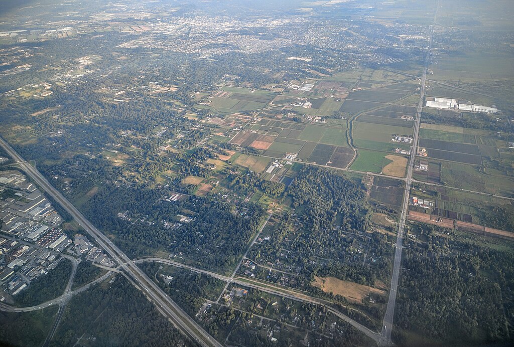
English: Southward aerial view of Anniedale, a neighbourhood of Surrey BC, just south of Barnston Island. Separated highway is Transcanada, perpendicular highway is 176th/Pacific Highway. Connecting road near the bottom is Golden Ears Way. Langley City is visible in the distance. |
| Date | |
| Source | Flying over BC. |
| Author | Reg Natarajan from Vancouver, Canada |
Licensing
[edit].jpg&action=edit§ion=2)
This file is licensed under the Creative Commons Attribution 2.0 Generic license.
- You are free:
- to share – to copy, distribute and transmit the work
- to remix – to adapt the work
- Under the following conditions:
- attribution – You must give appropriate credit, provide a link to the license, and indicate if changes were made. You may do so in any reasonable manner, but not in any way that suggests the licensor endorses you or your use.
| This image was originally posted to Flickr by Reg Natarajan at https://flickr.com/photos/61266278@N00/28725001286. It was reviewed on 5 December 2016 by FlickreviewR and was confirmed to be licensed under the terms of the cc-by-2.0. |
| Annotations | This image is annotated: View the annotations at Commons |
.jpg)
File history
Click on a date/time to view the file as it appeared at that time.
| Date/Time | Thumbnail | Dimensions | User | Comment | |
|---|---|---|---|---|---|
| current | 14:22, 5 December 2016 | | 4,000 × 2,705 (3.59 MB) | Mindmatrix (talk | contribs) | Transferred from Flickr via Flickr2Commons |
You cannot overwrite this file.
File usage on Commons
The following page uses this file:
File usage on other wikis
The following other wikis use this file:
- Usage on es.wikipedia.org
.jpg&oldid=921565217)