File:Flounce Rock (16272433739).jpg
Original file (1,920 × 1,080 pixels, file size: 2.59 MB, MIME type: image/jpeg)
Captions
Captions
Summary
[edit].jpg&action=edit§ion=1)
| Description |
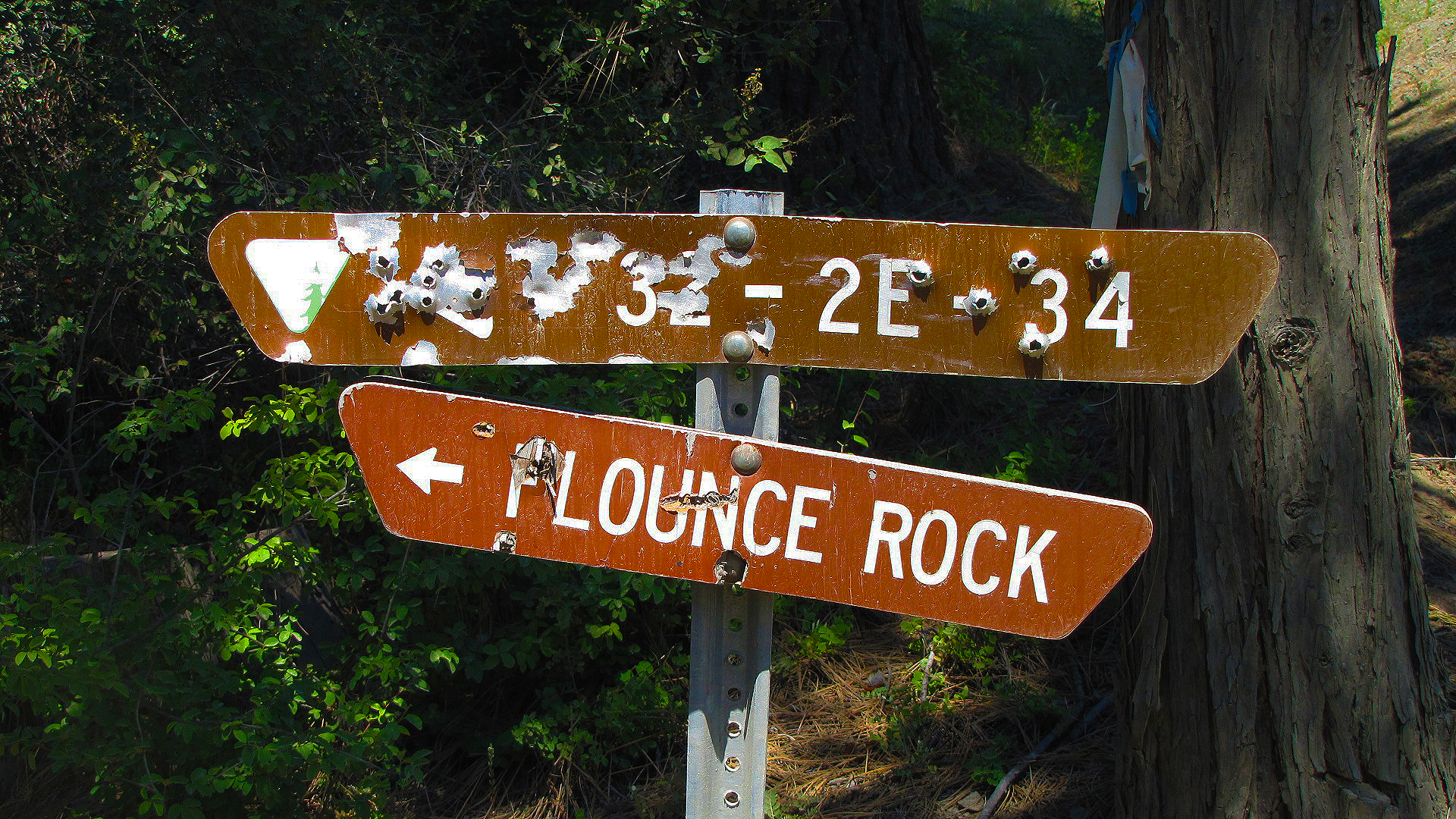
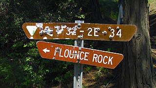
For a birdseye view of the Upper Rogue area, drive the winding gravel road up to the top of Flounce Rock. Just short of the top, take a 5 minute walk out to a rare population of Baker Cypress. Those with higher clearance vehicles can drive the final one-third mile to the top, and park at the microwave towers. A short, unmaintained trail to the south provides an unobstructed view of Lost Creek Lake, the Rogue River valley, and the Cascades. From Medford: Travel north on Highway 62 through the town of Shady Cove, and past Lost Creek Lake. After crossing the bridge over the Rogue River, continue 2.5 miles and turn left on Ulrich Road, located near milemarker 38. Travel another 2.5 miles to a "Y" junction, and take the left fork onto BLM Road 32-2E-34. Travel 4.2 miles to a wide parking area. The trail to a small population of Bakers Cypress is through the rail fence on the left. Vehicles with high clearance can travel another 1/3 mile up to the top of Flounce. Note: After leaving Highway 62, the first mile is through a residential neighborhood - please drive slowly to keep the dust down. This route is a narrow, steep, winding road not recommended for vehicles pulling trailers. Access is weather dependent, and is not accessible during winter. To learn more about this spectacular area head on over to: <a href="http://blm.gov/65ld" rel="nofollow">blm.gov/65ld</a> |
| Date | |
| Source | Flounce Rock |
| Author | Bureau of Land Management Oregon and Washington from Portland, America |
Licensing
[edit].jpg&action=edit§ion=2)
- You are free:
- to share – to copy, distribute and transmit the work
- to remix – to adapt the work
- Under the following conditions:
- attribution – You must give appropriate credit, provide a link to the license, and indicate if changes were made. You may do so in any reasonable manner, but not in any way that suggests the licensor endorses you or your use.
| This image was originally posted to Flickr by BLMOregon at https://flickr.com/photos/50169152@N06/16272433739 (archive). It was reviewed on 13 May 2018 by FlickreviewR 2 and was confirmed to be licensed under the terms of the cc-by-2.0. |
| This image is a work of a Bureau of Land Management* employee, taken or made as part of that person's official duties. As a work of the U.S. federal government, the image is in the public domain in the United States. *or predecessor organization |
File history
Click on a date/time to view the file as it appeared at that time.
| Date/Time | Thumbnail | Dimensions | User | Comment | |
|---|---|---|---|---|---|
| current | 13:31, 13 May 2018 | | 1,920 × 1,080 (2.59 MB) | OceanAtoll (talk | contribs) | Transferred from Flickr via #flickr2commons |
You cannot overwrite this file.
File usage on Commons
There are no pages that use this file.
.jpg&oldid=928303214)