File:Flooded area near Potman's Heath Channel - geograph.org.uk - 1744365.jpg
Jump to navigation
Jump to search

Size of this preview: 800 × 450 pixels. Other resolutions: 320 × 180 pixels | 640 × 360 pixels | 1,024 × 576 pixels | 1,280 × 720 pixels | 3,072 × 1,728 pixels.
Original file (3,072 × 1,728 pixels, file size: 1.02 MB, MIME type: image/jpeg)
Captions
Captions
Add a one-line explanation of what this file represents
Summary
[edit]| Description |
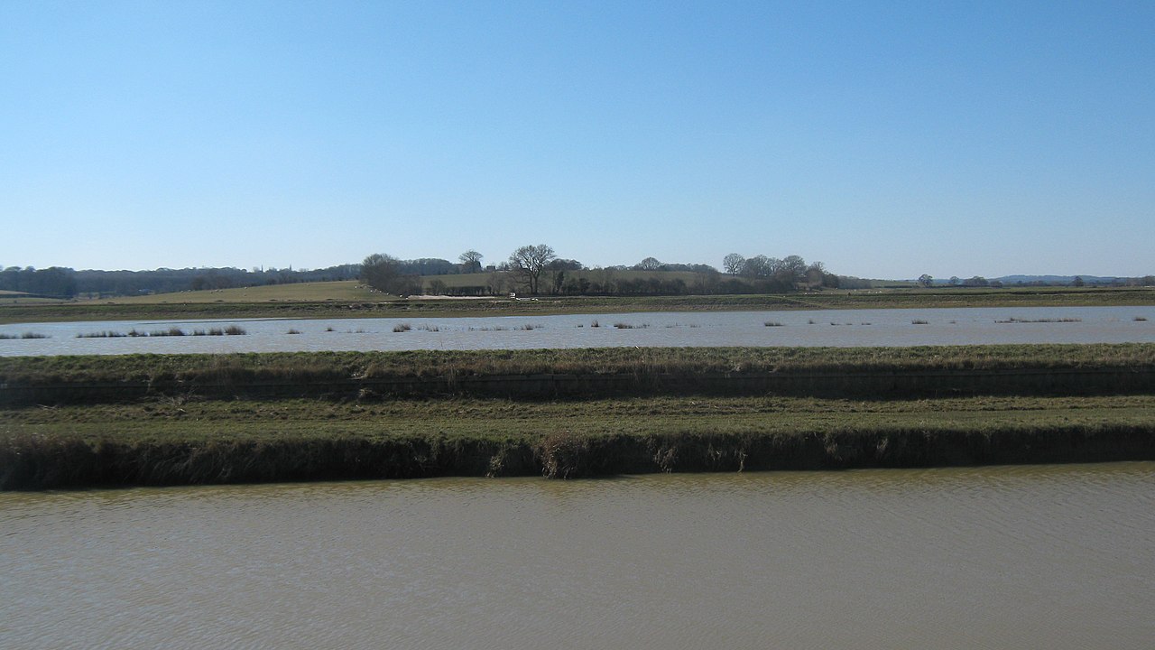
English: Flooded area near Potman's Heath Channel Looking south-westerly from the bridleway beside the Channel. In the foreground is a floodwall of the Channel. Then a triangular patch of land should be seen in between the River Rother and the Channel. This also has a small drainage channel (the Maytham Sewer). This looks like it has flooded, stopping the farm land either side of the Potman's Heath Channel and River Rother flooding. |
| Date | |
| Source | From geograph.org.uk |
| Author | David Anstiss |
| Attribution (required by the license) | David Anstiss / Flooded area near Potman's Heath Channel / |
| Camera location | | View this and other nearby images on: OpenStreetMap |
|---|
| Object location | | View this and other nearby images on: OpenStreetMap |
|---|
Licensing
[edit]
|
This image was taken from the Geograph project collection. See this photograph's page on the Geograph website for the photographer's contact details. The copyright on this image is owned by David Anstiss and is licensed for reuse under the Creative Commons Attribution-ShareAlike 2.0 license.
|
This file is licensed under the Creative Commons Attribution-Share Alike 2.0 Generic license.
Attribution: David Anstiss
- You are free:
- to share – to copy, distribute and transmit the work
- to remix – to adapt the work
- Under the following conditions:
- attribution – You must give appropriate credit, provide a link to the license, and indicate if changes were made. You may do so in any reasonable manner, but not in any way that suggests the licensor endorses you or your use.
- share alike – If you remix, transform, or build upon the material, you must distribute your contributions under the same or compatible license as the original.

_heading:247.00&language=en)
_heading:247.00&language=en)
File history
Click on a date/time to view the file as it appeared at that time.
| Date/Time | Thumbnail | Dimensions | User | Comment | |
|---|---|---|---|---|---|
| current | 18:53, 5 March 2011 | | 3,072 × 1,728 (1.02 MB) | GeographBot (talk | contribs) | == {{int:filedesc}} == {{Information |description={{en|1=Flooded area near Potman's Heath Channel Looking south-westerly from the bridleway beside the Channel. In the foreground is a floodwall of the Channel. Then a triangular patch of land should be seen |
You cannot overwrite this file.
File usage on Commons
There are no pages that use this file.