File:Flood-meadow, Newbold Comyn Park - geograph.org.uk - 1563337.jpg
Jump to navigation
Jump to search
No higher resolution available.
Flood-meadow,_Newbold_Comyn_Park_-_geograph.org.uk_-_1563337.jpg (640 × 427 pixels, file size: 360 KB, MIME type: image/jpeg)
Captions
Captions
Add a one-line explanation of what this file represents
Summary
[edit]
| Description |
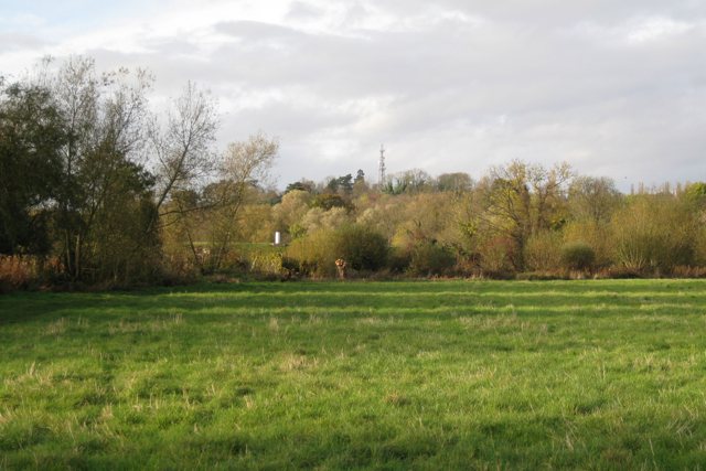
English: Flood-meadow, Newbold Comyn Park. The same scene as in 1563322 from further back. The fuzzy trees mark the course of the River Leam. St Mary's allotments come up to the opposite bank, left. The bund and white marker, left of centre, are near the south-east corner of Severn Trent's impounding reservoir at Willes Meadow. The TV mast on Campion Hills is on the skyline: SP3266 |
| Date | |
| Source | From geograph.org.uk |
| Author | Robin Stott |
| Attribution (required by the license) | Robin Stott / Flood-meadow, Newbold Comyn Park / |
| Camera location | | View this and other nearby images on: OpenStreetMap |
|---|
_heading:0.00&language=en)
| Object location | | View this and other nearby images on: OpenStreetMap |
|---|
_heading:0.00&language=en)
Licensing
[edit]

|
This image was taken from the Geograph project collection. See this photograph's page on the Geograph website for the photographer's contact details. The copyright on this image is owned by Robin Stott and is licensed for reuse under the Creative Commons Attribution-ShareAlike 2.0 license.
|
This file is licensed under the Creative Commons Attribution-Share Alike 2.0 Generic license.
Attribution: Robin Stott
- You are free:
- to share – to copy, distribute and transmit the work
- to remix – to adapt the work
- Under the following conditions:
- attribution – You must give appropriate credit, provide a link to the license, and indicate if changes were made. You may do so in any reasonable manner, but not in any way that suggests the licensor endorses you or your use.
- share alike – If you remix, transform, or build upon the material, you must distribute your contributions under the same or compatible license as the original.
File history
Click on a date/time to view the file as it appeared at that time.
| Date/Time | Thumbnail | Dimensions | User | Comment | |
|---|---|---|---|---|---|
| current | 16:47, 3 March 2011 | | 640 × 427 (360 KB) | GeographBot (talk | contribs) | == {{int:filedesc}} == {{Information |description={{en|1=Flood-meadow, Newbold Comyn Park The same scene as in 1563322 from further back. The fuzzy trees mark the course of the River Leam. St Mary's allotments come up to the opposite bank, left. The b |
You cannot overwrite this file.
File usage on Commons
There are no pages that use this file.