File:Flines-lez-Raches - Église Notre-Dame-de-Pellevoisin (01).JPG
Jump to navigation
Jump to search

Size of this preview: 800 × 446 pixels. Other resolutions: 320 × 178 pixels | 640 × 357 pixels | 1,024 × 571 pixels | 1,280 × 713 pixels | 3,190 × 1,778 pixels.
Original file (3,190 × 1,778 pixels, file size: 2.11 MB, MIME type: image/jpeg)
Captions
Captions
Add a one-line explanation of what this file represents
Summary
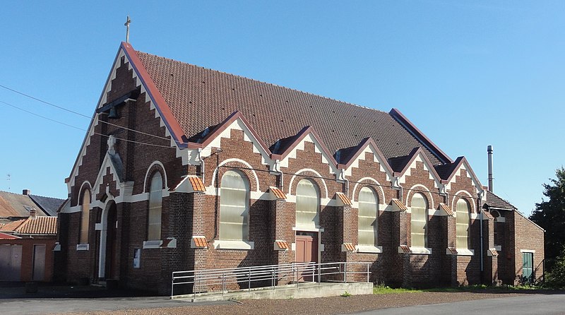
[edit]| Description | Depicted place: Église Notre-Dame-de-Pellevoisin de Flines-lez-Raches | |||||||||||||||||||||||
| Date | ||||||||||||||||||||||||
| Source | Own work | |||||||||||||||||||||||
| Author |
|
|||||||||||||||||||||||
| Permission (Reusing this file) |
| |||||||||||||||||||||||
| Attribution (required by the license) | Jérémy-Günther-Heinz Jähnick / Flines-lez-Raches - Église Notre-Dame-de-Pellevoisin (01) / Wikimedia Commons / | |||||||||||||||||||||||
.JPG)

.JPG&action=edit§ion=1)
.JPG)
| Camera location | | View this and other nearby images on: OpenStreetMap |
|---|
.JPG¶ms=050.418853_N_0003.199481_E_globe:Earth_type:camera_heading:140.25&language=en)
File history
Click on a date/time to view the file as it appeared at that time.
| Date/Time | Thumbnail | Dimensions | User | Comment | |
|---|---|---|---|---|---|
| current | 09:26, 12 October 2018 | | 3,190 × 1,778 (2.11 MB) | Jérémy-Günther-Heinz Jähnick (talk | contribs) |
You cannot overwrite this file.
File usage on Commons
The following page uses this file:
File usage on other wikis
The following other wikis use this file:
- Usage on de.wikipedia.org
- Usage on fr.wikipedia.org
- Usage on ru.wikipedia.org
- Usage on www.wikidata.org
.JPG&oldid=510792151)