File:Flight from Rotorua to Queenstown. Kapiti Island - panoramio.jpg
Jump to navigation
Jump to search
Size of this preview: 800 × 450 pixels. Other resolutions: 320 × 180 pixels | 640 × 360 pixels | 1,024 × 576 pixels | 1,280 × 719 pixels | 2,048 × 1,151 pixels.
Original file (2,048 × 1,151 pixels, file size: 1.47 MB, MIME type: image/jpeg)
Captions
Captions
Add a one-line explanation of what this file represents
Summary
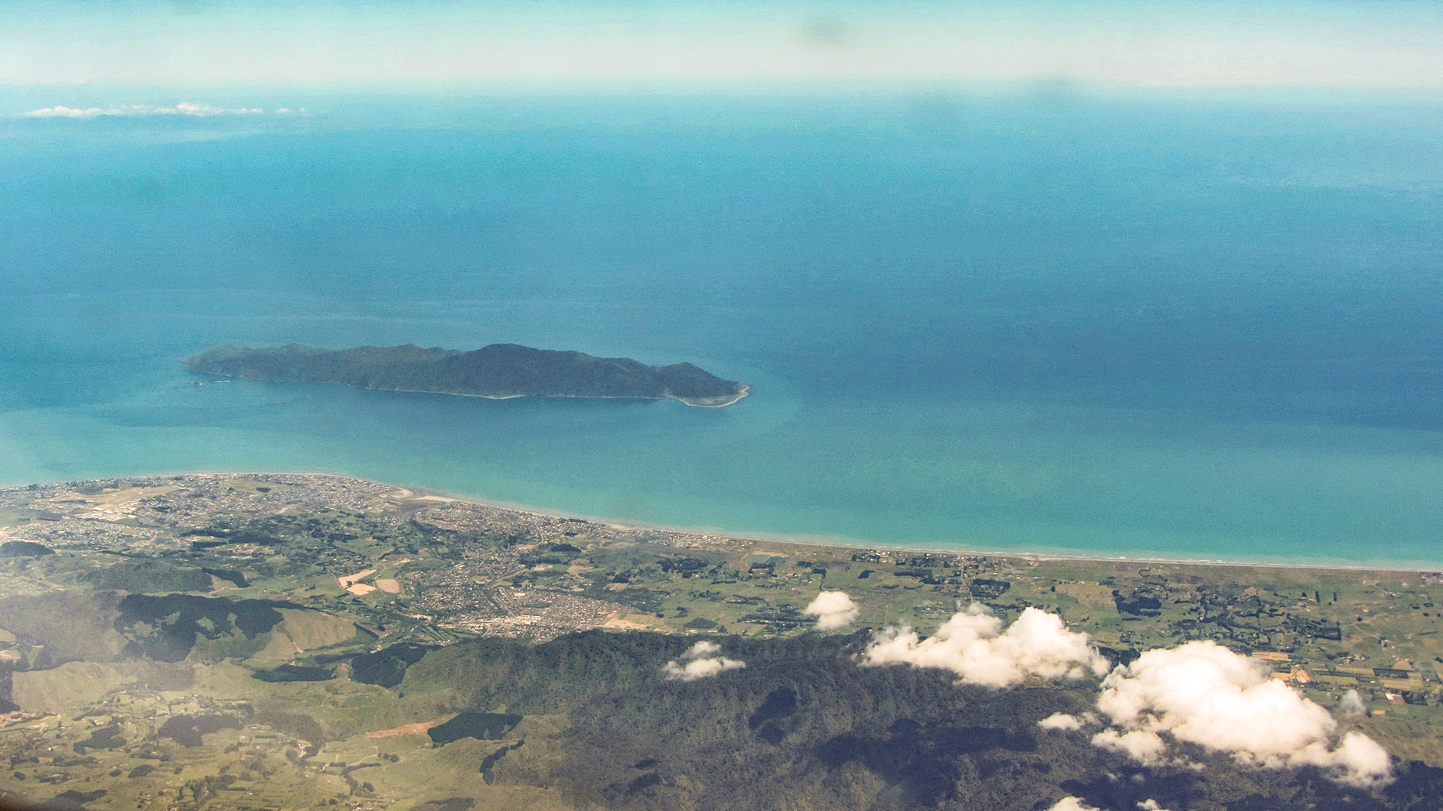
[edit]| Description | Flight from Rotorua to Queenstown. Kapiti Island off Paraparaumu and Waikanae | ||
| Date | 2 August 2013 (original upload date) | ||
| Source | https://web.archive.org/web/20161030064027/http://www.panoramio.com/photo/94040797 | ||
| Author | Bob Linsdell | ||
| Permission (Reusing this file) |
This file is licensed under the Creative Commons Attribution 3.0 Unported license. Attribution: Bob Linsdell
|
||
| Other versions | |||
| Tags (from Panoramio photo page) | Tararua Forest Park |
.jpg)
| Camera location | | View this and other nearby images on: OpenStreetMap |
|---|
File history
Click on a date/time to view the file as it appeared at that time.
| Date/Time | Thumbnail | Dimensions | User | Comment | |
|---|---|---|---|---|---|
| current | 05:42, 1 September 2022 | | 2,048 × 1,151 (1.47 MB) | HTGS (talk | contribs) | pulled back colour a bit |
| 05:32, 1 September 2022 |  | 2,048 × 1,151 (1.73 MB) | HTGS (talk | contribs) | Colour correction | |
| 09:23, 3 March 2017 |  | 2,048 × 1,151 (461 KB) | Panoramio upload bot (talk | contribs) | == {{int:filedesc}} == {{Information |description=Flight from Rotorua to Queenstown. Mana Island |date={{Original upload date|2013-08-02}} |source=http://www.panoramio.com/photo/94040797 |author=[http://www.panoramio.com/user/7508506?with_photo_id=9404... |
You cannot overwrite this file.
File usage on Commons
The following 2 pages use this file:
File usage on other wikis
The following other wikis use this file:
- Usage on en.wikipedia.org