File:Flickr - DVIDSHUB - Humanitarian Aide.jpg
Jump to navigation
Jump to search

Size of this preview: 800 × 533 pixels. Other resolutions: 320 × 213 pixels | 640 × 426 pixels | 1,024 × 682 pixels | 1,280 × 852 pixels | 3,000 × 1,998 pixels.
Original file (3,000 × 1,998 pixels, file size: 239 KB, MIME type: image/jpeg)
Captions
Captions
Add a one-line explanation of what this file represents
Summary
[edit]
| Description |
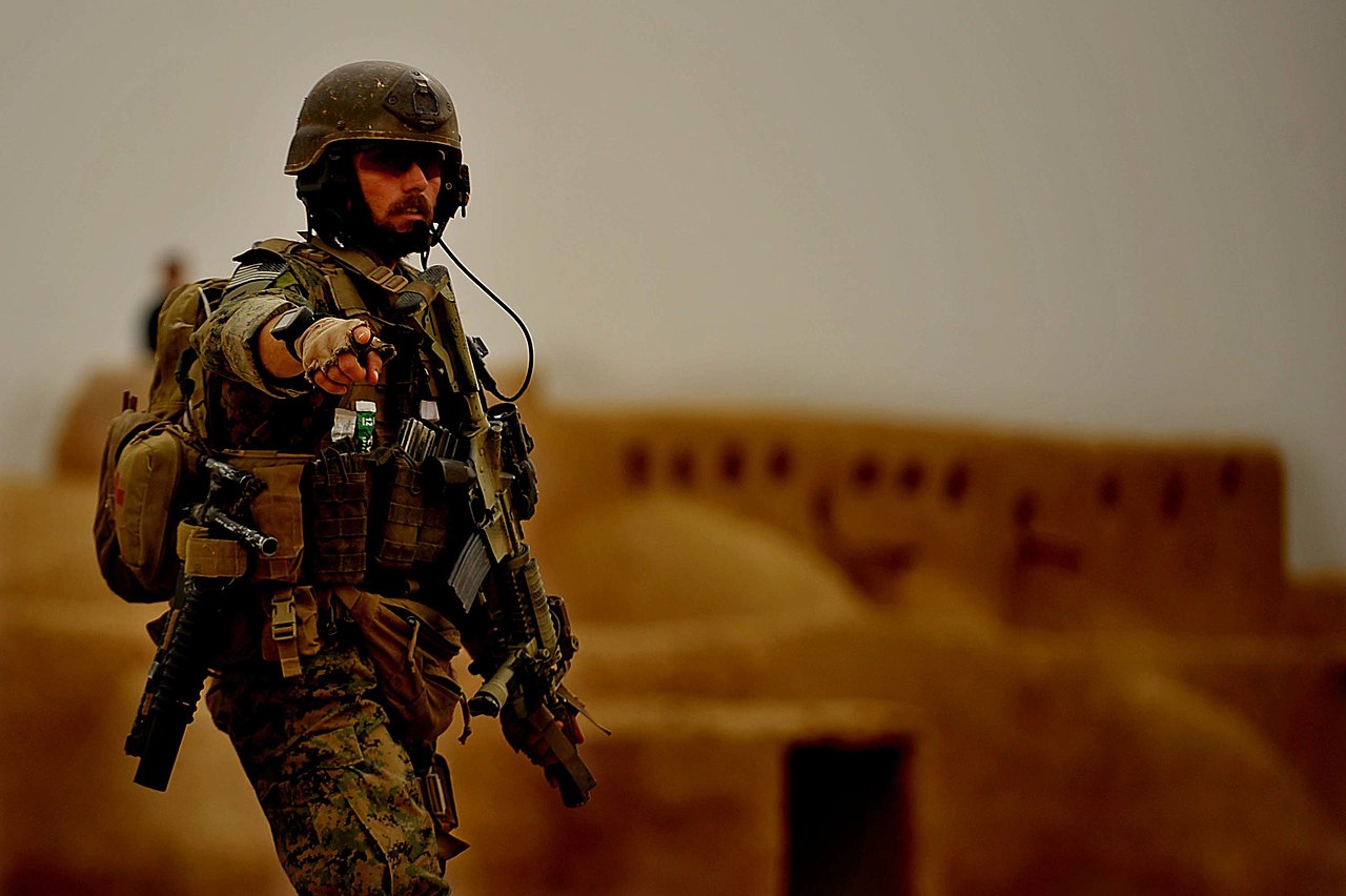
A MARSOC Marine instructs ANA soldiers to set up a security perimeter around a humanitarian aide site in the Village of Ranje Bala, Farah Province Afghanistan Feb 28. Combined Joint Special Operations Task Force – Afghanistan Media Operations Center Photo by Staff Sgt. Nicholas Pilch Date: 02.28.2010 Location: Farah Province, AF Related Photos: dvidshub.net/r/hq9tg9 |
| Date | Taken on 28 February 2010, 14:50 |
| Source | Humanitarian Aide |
| Author | DVIDSHUB |
| Camera location | | View this and other nearby images on: OpenStreetMap |
|---|
Licensing
[edit]
This image is a work of a U.S. military or Department of Defense employee, taken or made as part of that person's official duties. As a work of the U.S. federal government, the image is in the public domain in the United States.
|
 |
| This image was originally posted to Flickr by DVIDSHUB at https://www.flickr.com/photos/28650594@N03/4535212980. It was reviewed on 28 October 2012 by FlickreviewR and was confirmed to be licensed under the terms of the cc-by-2.0. |
File history
Click on a date/time to view the file as it appeared at that time.
| Date/Time | Thumbnail | Dimensions | User | Comment | |
|---|---|---|---|---|---|
| current | 11:26, 28 October 2012 | | 3,000 × 1,998 (239 KB) | Matanya (talk | contribs) | == {{int:filedesc}} == {{Information |Description=A MARSOC Marine instructs ANA soldiers to set up a security perimeter around a humanitarian aide site in the Village of Ranje Bala, Farah Province Afghanistan Feb 28. Combined Joint Special Operations T... |
You cannot overwrite this file.
File usage on Commons
There are no pages that use this file.
Metadata
Categories:
- United States Marine Corps Forces Special Operations Command
- Combined Joint Special Operations Task Force - Afghanistan
- MARPAT in 2010
- Modular Integrated Communications Helmet
- Scalable Plate Carrier (United States Marine Corps)
- M16 and STANAG magazines
- Tactical backpacks
- Male humans with Close Quarters Battle Receiver
- Elcan Specter
- Close Quarters Battle Receiver with foregrip
- AN/PEQ-15
- Camouflaged firearms
- Male humans with M203