File:Flamingos in the air.jpg
Original file (1,727 × 1,139 pixels, file size: 112 KB, MIME type: image/jpeg)
Captions
Captions
Summary
[edit]
| Description |
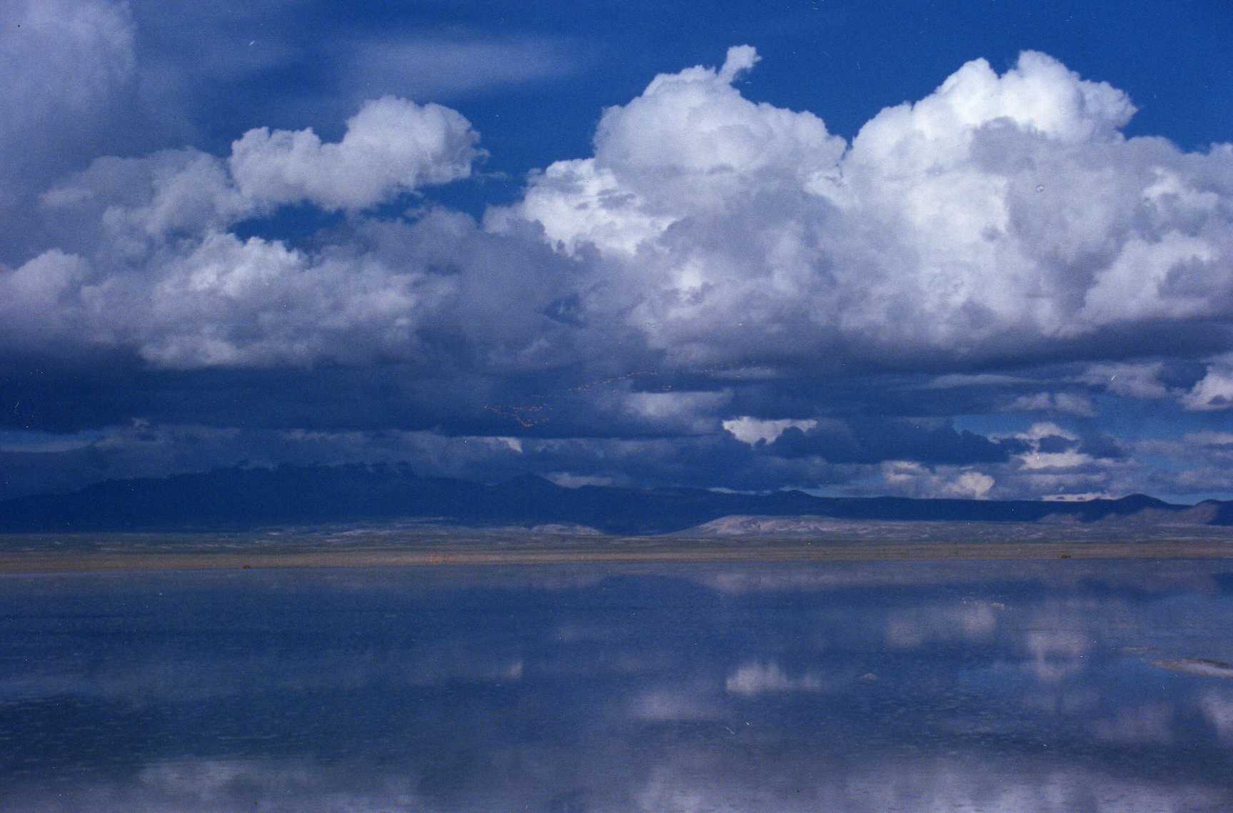
English: Flying high in the sky by the Hotel de Sal in the middle of the Salar de Uyuni ...
Salar de Uyuni (or Salar de Tunupa) is the world's largest salt flat at 10,582 square kilometers (4,086 sq mi). It is located in the Potosí and Oruro departments in southwest Bolivia, near the crest of the Andes, and is elevated 3,656 meters (11,995 ft) above the mean sea level. The Salar was formed as a result of transformations between several prehistoric lakes. It is covered by a few meters of salt crust, which has an extraordinary flatness with the average altitude variations within one meter over the entire area of the Salar. The crust serves as a source of salt and covers a pool of brine, which is exceptionally rich in lithium. It contains 50 to 70% of the world's lithium reserves, which is in the process of being extracted. The large area, clear skies and exceptional surface flatness make the Salar an ideal object for calibrating the altimeters of the Earth observation satellites. The Salar serves as the major transport route across the Bolivian Altiplano and is a major breeding ground for several species of pink flamingos. Every November, Salar de Uyuni is the breeding grounds for three species of pink South American flamingos: the Chilean, Andean and rare James's Flamingos, their color presumably originating from feeding on pink algae. There are about 80 of other bird species present, including the horned coot, the Andean goose and the Andean Hillstar. Andean fox (culpeo) is a representative animal, and the "islands" of Salar (in particular the Incahuasi island, which is also called Isla del Pescadores) host a colony of rabbit-like viscachas. |
| Date | |
| Source | https://www.flickr.com/photos/33037982@N04/3387847177/ |
| Author | wallygrom |
| Camera location | | View this and other nearby images on: OpenStreetMap |
|---|
Licensing
[edit]
- You are free:
- to share – to copy, distribute and transmit the work
- to remix – to adapt the work
- Under the following conditions:
- attribution – You must give appropriate credit, provide a link to the license, and indicate if changes were made. You may do so in any reasonable manner, but not in any way that suggests the licensor endorses you or your use.
- share alike – If you remix, transform, or build upon the material, you must distribute your contributions under the same or compatible license as the original.
| This image was originally posted to Flickr by wallygrom at https://flickr.com/photos/33037982@N04/3387847177. It was reviewed on 22 January 2024 by FlickreviewR 2 and was confirmed to be licensed under the terms of the cc-by-sa-2.0. |
File history
Click on a date/time to view the file as it appeared at that time.
| Date/Time | Thumbnail | Dimensions | User | Comment | |
|---|---|---|---|---|---|
| current | 13:30, 22 January 2024 | | 1,727 × 1,139 (112 KB) | Юрий Д.К. (talk | contribs) | Uploaded a work by wallygrom from https://www.flickr.com/photos/33037982@N04/3387847177/ with UploadWizard |
You cannot overwrite this file.
File usage on Commons
There are no pages that use this file.