File:Flag of Kaharlyk raion.svg
Jump to navigation
Jump to search

Size of this PNG preview of this SVG file: 800 × 533 pixels. Other resolutions: 320 × 213 pixels | 640 × 427 pixels | 1,024 × 683 pixels | 1,280 × 853 pixels | 2,560 × 1,707 pixels.
Original file (SVG file, nominally 900 × 600 pixels, file size: 808 bytes)
Captions
Captions
Add a one-line explanation of what this file represents
Summary
[edit]
| Description |
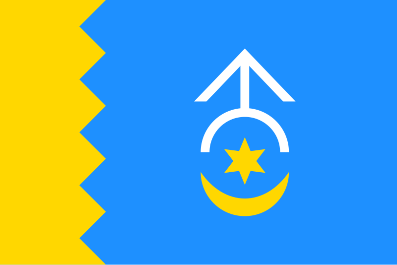
Українська: Прапор Кагарлицького району, Київська область
English: Flag of Kaharlyk Raion, Kyiv Oblast, Ukraine |
| Date | |
| Source | Own work |
| Author | Tohaomg |
| SVG development | This flag was created with a text editor. |
Licensing
[edit]
According to the Article 10 of the Law of Ukraine on Copyright and Related rights this work is in the public domain within Ukraine and possibly in other jurisdictions because it is one of the following:
|
 |
I, the copyright holder of this work, hereby publish it under the following license:
| This file is made available under the Creative Commons CC0 1.0 Universal Public Domain Dedication. | |
| The person who associated a work with this deed has dedicated the work to the public domain by waiving all of their rights to the work worldwide under copyright law, including all related and neighboring rights, to the extent allowed by law. You can copy, modify, distribute and perform the work, even for commercial purposes, all without asking permission.
|
File history
Click on a date/time to view the file as it appeared at that time.
| Date/Time | Thumbnail | Dimensions | User | Comment | |
|---|---|---|---|---|---|
| current | 22:47, 16 November 2017 | | 900 × 600 (808 bytes) | Tohaomg (talk | contribs) | User created page with UploadWizard |
You cannot overwrite this file.
File usage on Commons
The following 3 pages use this file:
File usage on other wikis
The following other wikis use this file:
- Usage on be-tarask.wikipedia.org
- Usage on be.wikipedia.org
- Кагарлыцкі раён
- Кагарлык
- Ржышчыў
- Шаблон:Населеныя пункты Кагарлыцкага раёна
- Анацькы (Кагарлыцкі раён)
- Арыхавэ (Кагарлыцкі раён)
- Ачэрэцянэ (Кагарлыцкі раён)
- Антоніўка (Кагарлыцкі раён)
- Балыка-Шчучынка
- Бэндзюгіўка
- Бурты (Кагарлыцкі раён)
- Вэлыкі Прыцькы
- Высэлка
- Высэлковэ
- Вараніўка (Кагарлыцкі раён)
- Гарохіўскэ (Кагарлыцкі раён)
- Гарохавэ (Кагарлыцкі раён)
- Гарахуватка (Кагарлыцкі раён)
- Грэбэні (Кагарлыцкі раён)
- Дэміўшчына
- Дзібрыўка (Кагарлыцкі раён)
- Зэлэны Яр (Кагарлыцкі раён)
- Зэмлянка (Кагарлыцкі раён)
- Зорыўка (Кагарлыцкі раён)
- Іваніўка (Кагарлыцкі раён)
- Зікрачы
- Кадамка
- Калыніўка (Кагарлыцкі раён)
- Кузьмынці (Кагарлыцкі раён)
- Лэаніўка (Кагарлыцкі раён)
- Лыпавэць (Кагарлыцкі раён)
- Лішчынка
- Мырыўка (Кагарлыцкі раён)
- Навасілкы (Кагарлыцкі раён)
- Панікарча
- Пэрэсэлэння
- Піўці
- Расаўка (Лішчынскі сельсавет)
- Расаўка (Расаўскі сельсавет)
- Слабада (Кагарлыцкі раён)
- Ставы (Кагарлыцкі раён)
- Стайкы (Кагарлыцкі раён)
- Стрыціўка
- Сушчаны (Кагарлыцкі раён)
- Тарасіўка (Кагарлыцкі раён)
- Тэрніўка (Кагарлыцкі раён)
- Уляныкы (Кагарлыцкі раён)
- Халча
- Чэрняхіў (Кагарлыцкі раён)
View more global usage of this file.