File:Flag map of Acre.png
Jump to navigation
Jump to search
Size of this preview: 800 × 449 pixels. Other resolutions: 320 × 180 pixels | 640 × 359 pixels | 1,024 × 574 pixels | 1,280 × 718 pixels | 2,000 × 1,122 pixels.
Original file (2,000 × 1,122 pixels, file size: 82 KB, MIME type: image/png)
Captions
Captions
Add a one-line explanation of what this file represents
Summary
[edit]
| Description |
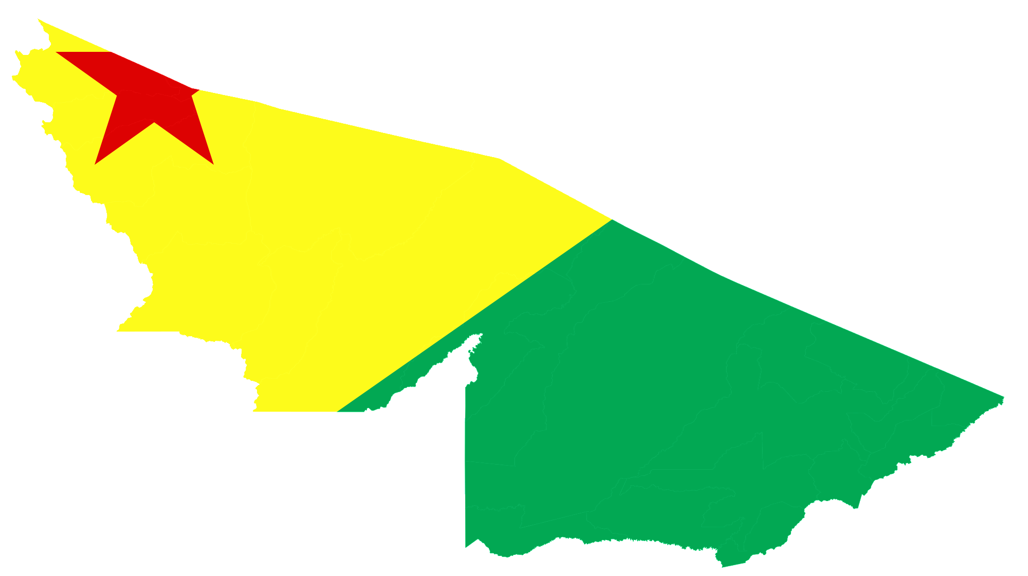
English: Flag map of Acre |
| Date | |
| Source | Own work |
| Author | DrRandomFactor |
Licensing
[edit]
I, the copyright holder of this work, hereby publish it under the following license:
This file is licensed under the Creative Commons Attribution-Share Alike 3.0 Unported license.
- You are free:
- to share – to copy, distribute and transmit the work
- to remix – to adapt the work
- Under the following conditions:
- attribution – You must give appropriate credit, provide a link to the license, and indicate if changes were made. You may do so in any reasonable manner, but not in any way that suggests the licensor endorses you or your use.
- share alike – If you remix, transform, or build upon the material, you must distribute your contributions under the same or compatible license as the original.

|
This flag map image could be re-created using vector graphics as an SVG file. This has several advantages; see Commons:Media for cleanup for more information. If an SVG form of this image is available, please upload it and afterwards replace this template with
{{vector version available|new image name}}.
It is recommended to name the SVG file “Flag map of Acre.svg”—then the template Vector version available (or Vva) does not need the new image name parameter. |
File history
Click on a date/time to view the file as it appeared at that time.
| Date/Time | Thumbnail | Dimensions | User | Comment | |
|---|---|---|---|---|---|
| current | 23:16, 15 January 2013 | | 2,000 × 1,122 (82 KB) | DrRandomFactor (talk | contribs) | User created page with UploadWizard |
You cannot overwrite this file.
File usage on Commons
The following page uses this file:
File usage on other wikis
The following other wikis use this file:
- Usage on en.wikipedia.org
- Cruzeiro do Sul, Acre
- Acrelândia
- Assis Brasil
- Bujari
- Capixaba, Acre
- Epitaciolândia
- Feijó, Acre
- Jordão, Acre
- Mâncio Lima
- Marechal Thaumaturgo
- Porto Walter
- Rodrigues Alves, Acre
- Santa Rosa do Purus
- Sena Madureira
- Senador Guiomard
- Tarauacá
- Kampa and Envira River Isolated Peoples Indigenous Territory
- Template:AcreBR-geo-stub
- Usage on vi.wikipedia.org
- Bản mẫu:Sơ khai bang Acre
- Acrelândia
- Assis Brasil
- Brasiléia
- Bujari
- Capixaba
- Cruzeiro do Sul
- Epitaciolândia
- Feijó
- Jordão
- Mâncio Lima
- Manoel Urbano
- Marechal Thaumaturgo
- Plácido de Castro
- Porto Acre
- Porto Walter
- Santa Rosa do Purus
- Sena Madureira
- Senador Guiomard
- Tarauacá
- Xapuri
- Brasileia (tiểu vùng)
- Cruzeiro do Sul (tiểu vùng)
- Rio Branco (tiểu vùng)
- Sena Madureira (tiểu vùng)
- Tarauacá (tiểu vùng)
- Rodrigues Alves, Acre