File:Flag-map of Russia (White-Blue-White).svg
Jump to navigation
Jump to search

Size of this PNG preview of this SVG file: 800 × 465 pixels. Other resolutions: 320 × 186 pixels | 640 × 372 pixels | 1,024 × 595 pixels | 1,280 × 744 pixels | 2,560 × 1,488 pixels | 1,039 × 604 pixels.
Original file (SVG file, nominally 1,039 × 604 pixels, file size: 48 KB)
Captions
Captions
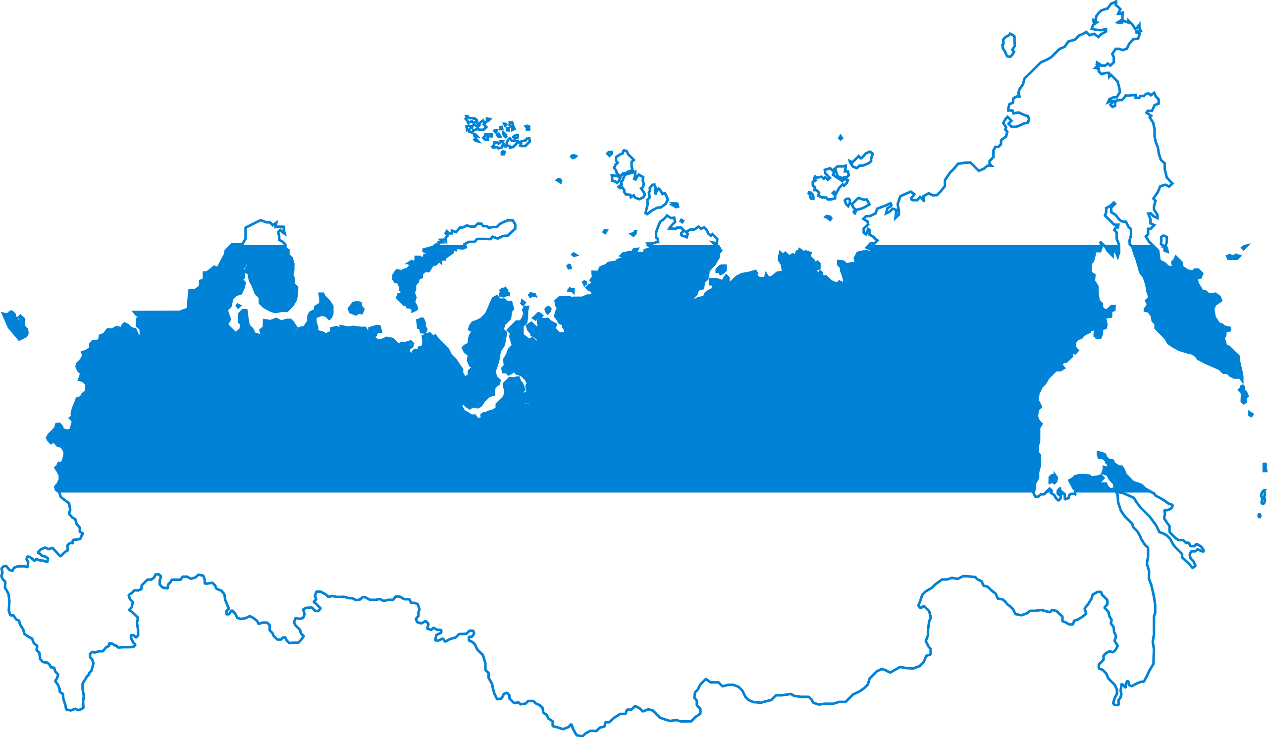
Flag-map of Russia (White-Blue-White)
Summary
[edit].svg&action=edit§ion=1)
| Description |
English: Flag-map of Russia (White-Blue-White) |
| Date | |
| Source | Own work & derivative of File:Flag of Russia (democratic).svg |
| Author | Giorgi Balakhadze & others |
.svg)
Licensing
[edit].svg&action=edit§ion=2)
| I, the copyright holder of this work, release this work into the public domain. This applies worldwide. In some countries this may not be legally possible; if so: I grant anyone the right to use this work for any purpose, without any conditions, unless such conditions are required by law. |
File history
Click on a date/time to view the file as it appeared at that time.
| Date/Time | Thumbnail | Dimensions | User | Comment | |
|---|---|---|---|---|---|
| current | 14:22, 4 January 2023 | | 1,039 × 604 (48 KB) | Gleb Zajarski (talk | contribs) | You know what, I'll leave it at that. Even though it's not neutral, it's your picture, do what you want. I'll upload another one with the Kurils, if you don't mind. |
| 14:18, 4 January 2023 |  | 1,039 × 604 (48 KB) | Gleb Zajarski (talk | contribs) | The Kuril Islands are not Crimea, they were not occupied AT THE TIME of the Russian Federation, hence it has nothing to do with Putin's policies. This flag is against Putin's policies, the Kurils were annexed during the USSR and this is a completely different country. | |
| 14:18, 4 January 2023 |  | 1,039 × 604 (48 KB) | Gleb Zajarski (talk | contribs) | Reverted to version as of 12:06, 4 January 2023 (UTC) | |
| 14:16, 4 January 2023 |  | 1,039 × 604 (48 KB) | Gleb Zajarski (talk | contribs) | This map should represent all residents of the Russian Federation. Now the Kuril Islands are part of Russia and people with Russian passports live there. Therefore they have the right to be represented on this map. I am not saying good or bad. But the map should not reflect the political views of some specific people. The map of the Russian Federation with a white-blue-white flag is the title of the image. If you want to publish a map without the Kurils, publish it, but add "without disputed... | |
| 12:06, 4 January 2023 |  | 1,039 × 604 (48 KB) | Giorgi Balakhadze (talk | contribs) | This is not about Kremlin views, those 4 islands are Japanese sovereign territory | |
| 20:18, 3 January 2023 |  | 1,039 × 604 (48 KB) | Gleb Zajarski (talk | contribs) | The map should represent all inhabitants of the Russian Federation who are against the war, counting the Kuril Islands. A return to the current borders of Russia, as erasing the islands is an unnecessary thing for this map. This is not a map of alternative history, but of contemporary realities. | |
| 13:53, 13 July 2022 |  | 1,039 × 604 (48 KB) | Giorgi Balakhadze (talk | contribs) | fix: - Japanese Kurils | |
| 08:17, 10 March 2022 |  | 1,039 × 604 (48 KB) | Giorgi Balakhadze (talk | contribs) | Uploaded own work with UploadWizard |
You cannot overwrite this file.
File usage on Commons
The following 6 pages use this file:
File usage on other wikis
The following other wikis use this file:
- Usage on en.wikipedia.org
- Usage on ru.wikipedia.org
- Usage on uk.wikipedia.org
.svg&oldid=729700243)