File:Five in a row Tottenham Green.jpg

Original file (2,274 × 1,600 pixels, file size: 864 KB, MIME type: image/jpeg)
Captions
Captions
Summary
[edit]
| Description |
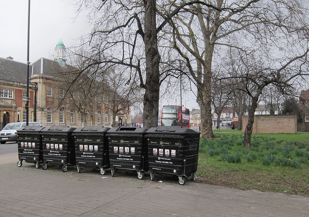
English: ► Update 2 March 2012. These recycling bins used to be on the pavement on the other side of Town Hall Approach Road.
According to Haringey Council, they were moved at the request of an unelected, unaccountable body called the Tottenham Green Working Group which asked for them to be relocated after the former Town Hall was developed and "it was felt the bins were an eyesore". Notice the passive unnamed third persons: "it was felt". Nice touch that. Nobody takes responsibility. And although the Working Group was - in practice - making decisions about the area, it included no elected ward councillor nor any local resident. But hey, that's accountability and democracy in Haringey Kober-style. In September 2011, I was told there would be a: "review of the level of use of this set of recycling bins and possible alternative locations to determine whether they are actually needed any longer and if so where they might be better positioned". The three local ward councillors were to be included in the review. Also I was promised that I I'd be told the outcome. At the time I was one of the three elected councillors for Tottenham Hale ward which is 150 yards (130 metres) from Tottenham Green. I never heard a word. ______________________________________ § Click the blue link for an aerial view of where I took this photo. (Back button returns to this page.) § There are other examples of the thoughtless and careless uglification of Tottenham Green. For example, it was used several months as a handy piece of land to store equipment. One of the paths was used for dumping waste. |
| Date | |
| Source | https://www.flickr.com/photos/53921762@N00/6827525266/ |
| Author | Alan Stanton |
| Camera location | | View this and other nearby images on: OpenStreetMap |
|---|
Licensing
[edit]
- You are free:
- to share – to copy, distribute and transmit the work
- to remix – to adapt the work
- Under the following conditions:
- attribution – You must give appropriate credit, provide a link to the license, and indicate if changes were made. You may do so in any reasonable manner, but not in any way that suggests the licensor endorses you or your use.
- share alike – If you remix, transform, or build upon the material, you must distribute your contributions under the same or compatible license as the original.
| This image was originally posted to Flickr by Alan Stanton at https://flickr.com/photos/53921762@N00/6827525266. It was reviewed on 22 December 2021 by FlickreviewR 2 and was confirmed to be licensed under the terms of the cc-by-sa-2.0. |
File history
Click on a date/time to view the file as it appeared at that time.
| Date/Time | Thumbnail | Dimensions | User | Comment | |
|---|---|---|---|---|---|
| current | 20:33, 22 December 2021 | | 2,274 × 1,600 (864 KB) | Oxyman (talk | contribs) | Uploaded a work by Alan Stanton from https://www.flickr.com/photos/53921762@N00/6827525266/ with UploadWizard |
You cannot overwrite this file.
File usage on Commons
There are no pages that use this file.