File:Fischland, Dierhagen10.jpg
Jump to navigation
Jump to search
Size of this preview: 800 × 533 pixels. Other resolutions: 320 × 213 pixels | 640 × 427 pixels | 1,024 × 683 pixels | 1,280 × 853 pixels | 2,214 × 1,476 pixels.
Original file (2,214 × 1,476 pixels, file size: 3.17 MB, MIME type: image/jpeg)
Captions
Captions
Add a one-line explanation of what this file represents
Summary
[edit]
| Description |
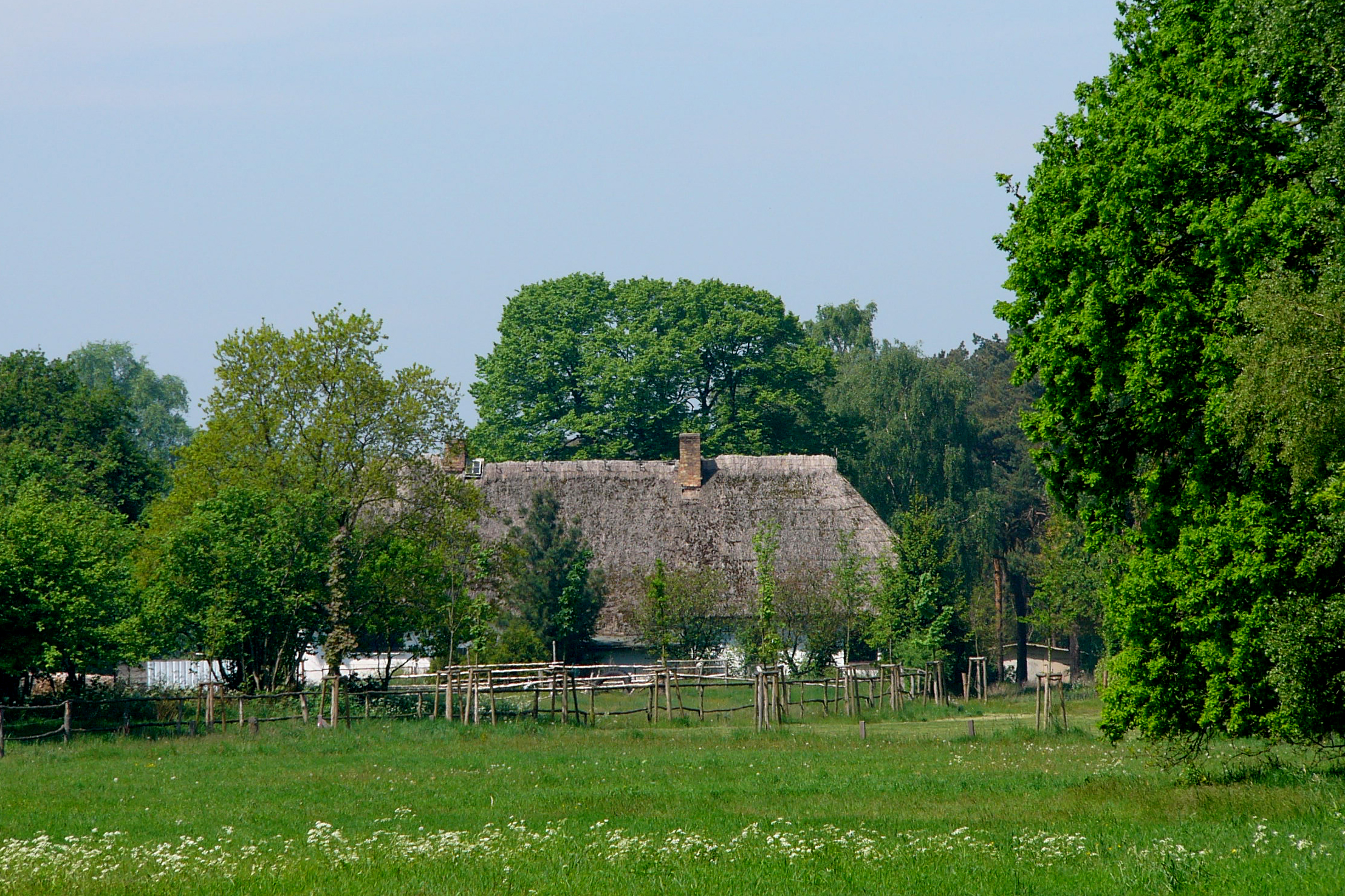
English: Landscape at peninsula Fischland-Darss near Dierhagen, Mecklenburg-Vorpommern, Germany.
Deutsch: Landschaft auf der Halbinsel Fischland-Darss (Ostseeküste) nahe Dierhagen, Mecklenburg-Vorpommern. |
| Date | |
| Source | Own work |
| Author | Nikater |
| Permission (Reusing this file) |
Own work, all rights released (Public domain) |
| Camera location | | View this and other nearby images on: OpenStreetMap |
|---|
Licensing
[edit]
| I, the copyright holder of this work, release this work into the public domain. This applies worldwide. In some countries this may not be legally possible; if so: I grant anyone the right to use this work for any purpose, without any conditions, unless such conditions are required by law. |
File history
Click on a date/time to view the file as it appeared at that time.
| Date/Time | Thumbnail | Dimensions | User | Comment | |
|---|---|---|---|---|---|
| current | 21:17, 2 December 2014 | | 2,214 × 1,476 (3.17 MB) | Nikater (talk | contribs) | {{Information |Description= {{en|Landscape at peninsula Fischland-Darss near Dierhagen, Mecklenburg-Vorpommern, Germany.}} {{de|Landschaft auf der Halbinsel Fischland-Darss (Ostseeküste) nahe Dierhagen, Mecklenburg... |
You cannot overwrite this file.
File usage on Commons
There are no pages that use this file.