File:First hill fromSMT.jpg
Jump to navigation
Jump to search

Size of this preview: 799 × 288 pixels. Other resolutions: 320 × 115 pixels | 640 × 231 pixels | 1,024 × 369 pixels | 1,280 × 462 pixels | 5,158 × 1,860 pixels.
Original file (5,158 × 1,860 pixels, file size: 2.03 MB, MIME type: image/jpeg)
Captions
Captions
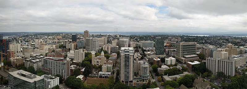
View of First Hill in Seattle, Washington from the Seattle Municipal Tower
Summary
[edit]
| Description |
English: View looking east of First Hill in Seattle, Washington from the Seattle Municipal Tower in Downtown. |
| Date | |
| Source | Own work |
| Author | Simonslt |
| Camera location | | View this and other nearby images on: OpenStreetMap |
|---|
Licensing
[edit]
I, the copyright holder of this work, hereby publish it under the following license:
This file is licensed under the Creative Commons Attribution-Share Alike 4.0 International license.
- You are free:
- to share – to copy, distribute and transmit the work
- to remix – to adapt the work
- Under the following conditions:
- attribution – You must give appropriate credit, provide a link to the license, and indicate if changes were made. You may do so in any reasonable manner, but not in any way that suggests the licensor endorses you or your use.
- share alike – If you remix, transform, or build upon the material, you must distribute your contributions under the same or compatible license as the original.
| Annotations | This image is annotated: View the annotations at Commons |
File history
Click on a date/time to view the file as it appeared at that time.
| Date/Time | Thumbnail | Dimensions | User | Comment | |
|---|---|---|---|---|---|
| current | 21:46, 13 September 2019 | 5,158 × 1,860 (2.03 MB) | Simonslt (talk | contribs) | User created page with UploadWizard |
You cannot overwrite this file.
File usage on Commons
There are no pages that use this file.
File usage on other wikis
The following other wikis use this file:
- Usage on en.wikipedia.org