File:Filakovo-Fülek OSM map.png
Jump to navigation
Jump to search

Size of this preview: 554 × 600 pixels. Other resolutions: 222 × 240 pixels | 443 × 480 pixels | 848 × 918 pixels.
Original file (848 × 918 pixels, file size: 370 KB, MIME type: image/png)
Captions
Captions
Add a one-line explanation of what this file represents
Summary
[edit]| Description |
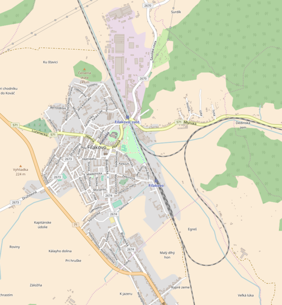
Magyar: Fülek térkép
Slovenčina: Fiľakovo mapa
English: Fiľakovo map |
| Date | |
| Source | OpenStreetMap |
| Author | OpenStreetMap |
| Other versions |
|

Licensing
[edit]
| This work contains information from OpenStreetMap, which is made available under the Open Database License (ODbL).
The ODbL does not require any particular license for maps produced from ODbL data. Prior to 1 August 2020, map tiles produced by the OpenStreetMap Foundation were licensed under the CC-BY-SA-2.0 license. Maps produced by other people may be subject to other licences. |
This file is licensed under the Creative Commons Attribution-Share Alike 4.0 International license.
- You are free:
- to share – to copy, distribute and transmit the work
- to remix – to adapt the work
- Under the following conditions:
- attribution – You must give appropriate credit, provide a link to the license, and indicate if changes were made. You may do so in any reasonable manner, but not in any way that suggests the licensor endorses you or your use.
- share alike – If you remix, transform, or build upon the material, you must distribute your contributions under the same or compatible license as the original.
File history
Click on a date/time to view the file as it appeared at that time.
| Date/Time | Thumbnail | Dimensions | User | Comment | |
|---|---|---|---|---|---|
| current | 13:51, 4 January 2017 | | 848 × 918 (370 KB) | Füleki (talk | contribs) | User created page with UploadWizard |
You cannot overwrite this file.
File usage on Commons
The following 2 pages use this file:
File usage on other wikis
The following other wikis use this file:
- Usage on hu.wikipedia.org
- Urbánka
- Füleki vár
- Fülek vasútállomás
- Füleki Városi Honismereti Múzeum
- Sablon:Pozíciós térkép Fülek
- Füleki köztemető
- Füleki evangélikus temető
- Berchtold-kastély (Fülek)
- Koháry-kúria (Fülek)
- Római katolikus templom (Fülek)
- Szerkesztő:Füleki/próbalap
- Füleki buszpályaudvar
- Paprét (Fülek)
- Szentfali
- Városháza (Fülek)
- Református templom (Fülek)
- Füleki Városi Könyvtár
- Mocsáry Lajos Alapiskola
- Iskola Utcai Szlovák Tannyelvű Alapiskola
- Usage on www.wikidata.org