File:Fig 2 Map of the part of hte Upper Ohio drainage system near the supposed old divide.jpg
Jump to navigation
Jump to search

Size of this preview: 507 × 600 pixels. Other resolutions: 203 × 240 pixels | 406 × 480 pixels | 851 × 1,007 pixels.
Original file (851 × 1,007 pixels, file size: 153 KB, MIME type: image/jpeg)
Captions
Captions
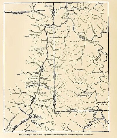
The Upper Ohio drainage near the supposed old divide
Summary
[edit]
| Description |
English: The Upper Ohio drainage near the supposed old divide |
| Date | |
| Source | United States Geological Survey, Charles D. Walcott, Director; Glacial Formations and Drainage Features, Erie and Ohio Basins, Vol 41; Frank Leverett; Washington Government Printing Office, Washington, D.C.; 1902 |
| Author | Frank Leverett |
Licensing
[edit]
This work is in the public domain in the United States because it is a work prepared by an officer or employee of the United States Government as part of that person’s official duties under the terms of Title 17, Chapter 1, Section 105 of the US Code.
Note: This only applies to original works of the Federal Government and not to the work of any individual U.S. state, territory, commonwealth, county, municipality, or any other subdivision. This template also does not apply to postage stamp designs published by the United States Postal Service since 1978. (See § 313.6(C)(1) of Compendium of U.S. Copyright Office Practices). It also does not apply to certain US coins; see The US Mint Terms of Use.
|
 | |
| This file has been identified as being free of known restrictions under copyright law, including all related and neighboring rights. | ||
File history
Click on a date/time to view the file as it appeared at that time.
| Date/Time | Thumbnail | Dimensions | User | Comment | |
|---|---|---|---|---|---|
| current | 15:38, 15 December 2019 | | 851 × 1,007 (153 KB) | Chris Light (talk | contribs) | User created page with UploadWizard |
You cannot overwrite this file.
File usage on Commons
There are no pages that use this file.