File:Fernworthy Down - geograph.org.uk - 316756.jpg
Jump to navigation
Jump to search
No higher resolution available.
Fernworthy_Down_-_geograph.org.uk_-_316756.jpg (640 × 480 pixels, file size: 107 KB, MIME type: image/jpeg)
Captions
Captions
Add a one-line explanation of what this file represents
Summary
[edit]
| Description |
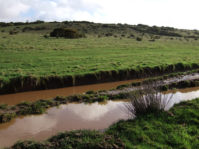
English: Fernworthy Down Toffee-coloured puddles on Bridestowe Byway 16 as it cuts along the western foot of the Down, which is access land. The byway here forms part of the West Devon Way and the Dartmoor Way, and must have been an important route between Okehampton and Lydford before the present A386. |
| Date | |
| Source | From geograph.org.uk |
| Author | Derek Harper |
| Attribution (required by the license) | Derek Harper / Fernworthy Down / |
| Camera location | | View this and other nearby images on: OpenStreetMap |
|---|
_heading:135.00&language=en)
| Object location | | View this and other nearby images on: OpenStreetMap |
|---|
_heading:135.00&language=en)
Licensing
[edit]

|
This image was taken from the Geograph project collection. See this photograph's page on the Geograph website for the photographer's contact details. The copyright on this image is owned by Derek Harper and is licensed for reuse under the Creative Commons Attribution-ShareAlike 2.0 license.
|
This file is licensed under the Creative Commons Attribution-Share Alike 2.0 Generic license.
Attribution: Derek Harper
- You are free:
- to share – to copy, distribute and transmit the work
- to remix – to adapt the work
- Under the following conditions:
- attribution – You must give appropriate credit, provide a link to the license, and indicate if changes were made. You may do so in any reasonable manner, but not in any way that suggests the licensor endorses you or your use.
- share alike – If you remix, transform, or build upon the material, you must distribute your contributions under the same or compatible license as the original.
File history
Click on a date/time to view the file as it appeared at that time.
| Date/Time | Thumbnail | Dimensions | User | Comment | |
|---|---|---|---|---|---|
| current | 14:53, 30 December 2010 | | 640 × 480 (107 KB) | GeographBot (talk | contribs) | == {{int:filedesc}} == {{Information |description={{en|1=Fernworthy Down Toffee-coloured puddles on Bridestowe Byway 16 as it cuts along the western foot of the Down, which is access land. The byway here forms part of the West Devon Way and the Dartmoor W |
You cannot overwrite this file.
File usage on Commons
There are no pages that use this file.