File:Fekete-hegyek - panoramio.jpg
Jump to navigation
Jump to search
Size of this preview: 800 × 97 pixels. Other resolution: 1,600 × 194 pixels.
Original file (1,600 × 194 pixels, file size: 460 KB, MIME type: image/jpeg)
Captions
Captions
Add a one-line explanation of what this file represents
| Description |
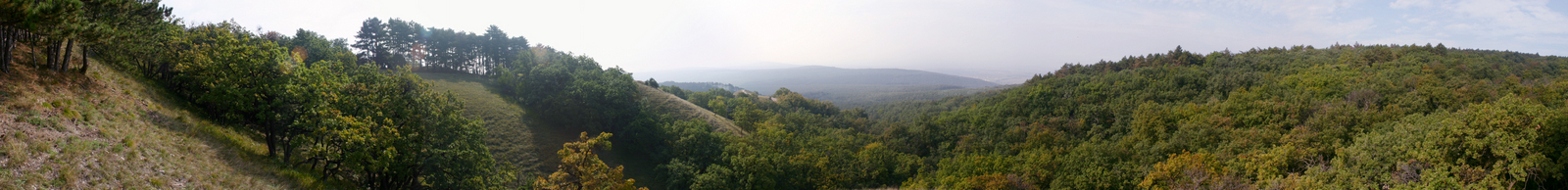
Magyar: Pest m., Páty, Fekete-hegyek |
||
| Date | 22 June 2007 (original upload date) | ||
| Source | https://web.archive.org/web/20161013044600/http://www.panoramio.com/photo/2879825 | ||
| Author | Kaszás Tibor | ||
| Permission (Reusing this file) |
This file is licensed under the Creative Commons Attribution-Share Alike 3.0 Unported license. Attribution: Kaszás Tibor
|
| Camera location | | View this and other nearby images on: OpenStreetMap |
|---|
File history
Click on a date/time to view the file as it appeared at that time.
| Date/Time | Thumbnail | Dimensions | User | Comment | |
|---|---|---|---|---|---|
| current | 06:30, 8 April 2015 | 1,600 × 194 (460 KB) | Panoramio upload bot (talk | contribs) | {{Information |description=Fekete-hegyek |date={{Original upload date|2007-06-22}} |source=http://www.panoramio.com/photo/2879825 |author=[http://www.panoramio.com/user/569931?with_photo_id=2879825 Kaszás Tibor] |permission={{cc-by-sa-3.0|Kaszás Tibo... |
You cannot overwrite this file.
File usage on Commons
There are no pages that use this file.