File:Fawley Court through the trees-geograph-4278106.jpg
Jump to navigation
Jump to search
Size of this preview: 500 × 599 pixels. Other resolutions: 200 × 240 pixels | 400 × 480 pixels | 641 × 768 pixels | 854 × 1,024 pixels | 1,335 × 1,600 pixels.
Original file (1,335 × 1,600 pixels, file size: 637 KB, MIME type: image/jpeg)
Captions
Captions
Add a one-line explanation of what this file represents
Summary
[edit]
| Description |
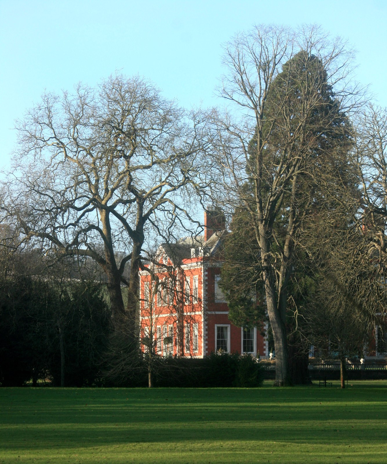
English: Fawley Court through the trees. There are a lot of good pictures of Fawley Court on the web, but none of us Geographers, me included, seem to have really got to grips with the place so far. |
| Date | |
| Source | https://www.geograph.org.uk/photo/4278106 |
| Author | Des Blenkinsopp |
| Attribution (required by the license) | Des Blenkinsopp / Fawley Court through the trees / |
| Camera location | | View this and other nearby images on: OpenStreetMap |
|---|
_heading:292.00&language=en)
| Object location | | View this and other nearby images on: OpenStreetMap |
|---|
_heading:292.00&language=en)
Licensing
[edit]

|
This image was taken from the Geograph project collection. See this photograph's page on the Geograph website for the photographer's contact details. The copyright on this image is owned by Des Blenkinsopp and is licensed for reuse under the Creative Commons Attribution-ShareAlike 2.0 license.
|
This file is licensed under the Creative Commons Attribution-Share Alike 2.0 Generic license.
Attribution: Des Blenkinsopp
- You are free:
- to share – to copy, distribute and transmit the work
- to remix – to adapt the work
- Under the following conditions:
- attribution – You must give appropriate credit, provide a link to the license, and indicate if changes were made. You may do so in any reasonable manner, but not in any way that suggests the licensor endorses you or your use.
- share alike – If you remix, transform, or build upon the material, you must distribute your contributions under the same or compatible license as the original.
File history
Click on a date/time to view the file as it appeared at that time.
| Date/Time | Thumbnail | Dimensions | User | Comment | |
|---|---|---|---|---|---|
| current | 22:57, 18 September 2017 | | 1,335 × 1,600 (637 KB) | Geograph Update Bot (talk | contribs) | Higher-resolution version from Geograph. |
| 16:19, 26 December 2014 |  | 534 × 640 (108 KB) | Judithcomm (talk | contribs) | User created page with UploadWizard |
You cannot overwrite this file.
File usage on Commons
There are no pages that use this file.