File:Farol do Cabo de São Vicente 02.jpg
From Wikimedia Commons, the free media repository
Jump to navigation
Jump to search
![File:Farol do Cabo de São Vicente 02.jpg](https://upload.wikimedia.org/wikipedia/commons/thumb/d/d6/Farol_do_Cabo_de_S%C3%A3o_Vicente_02.jpg/800px-Farol_do_Cabo_de_S%C3%A3o_Vicente_02.jpg?20111027225451)
Size of this preview: 800 × 450 pixels. Other resolutions: 320 × 180 pixels | 640 × 360 pixels | 1,024 × 576 pixels | 1,280 × 720 pixels | 2,565 × 1,443 pixels.
Original file (2,565 × 1,443 pixels, file size: 1.02 MB, MIME type: image/jpeg)
File information
Structured data
Captions
Captions
Add a one-line explanation of what this file represents
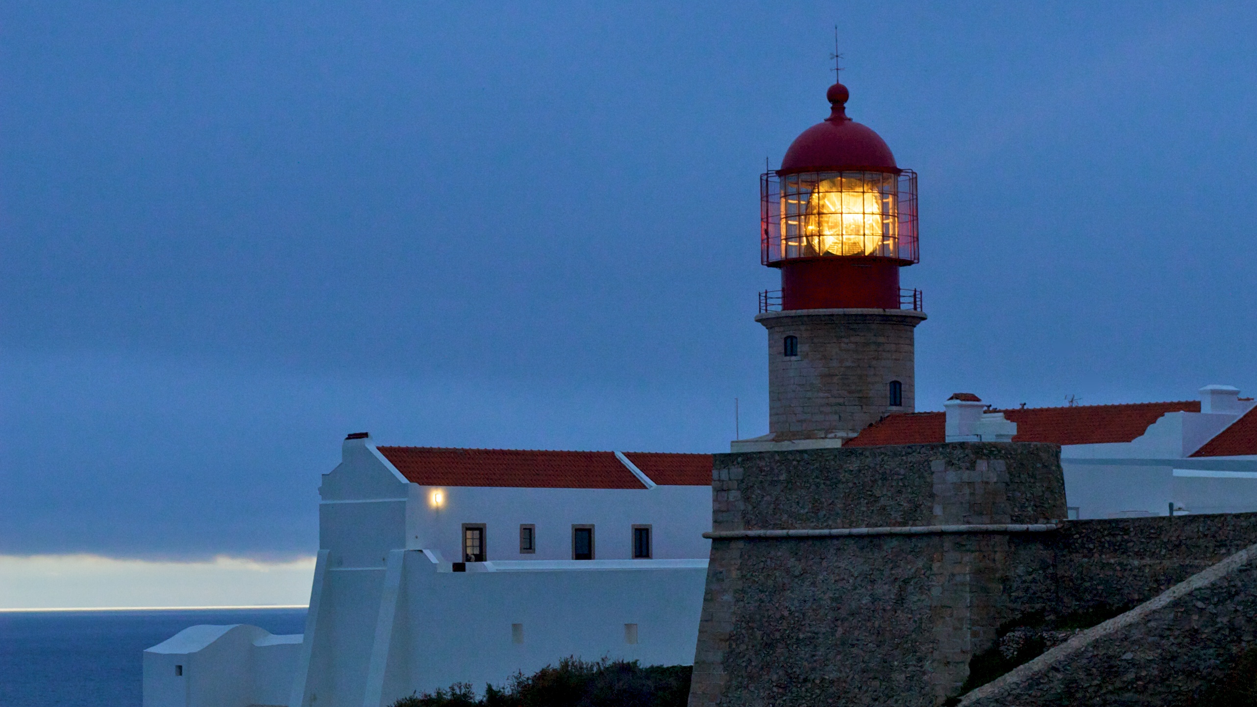
DescriptionFarol do Cabo de São Vicente 02.jpg | Farol do cabo de São Vicente. Em Em Portugal, Faro, Vila do Bispo, Sagres. | ||
Date | |||
Source | Flickr: Farol do Cabo de São Vicente | ||
Author | Tony Bowden | ||
Permission (Reusing this file) |
![]() ![]() ![]() This file is licensed under the Creative Commons Attribution-Share Alike 2.0 Generic license.
|
Camera location | 37° 01′ 25.2″ N, 8° 59′ 43.8″ W ![]() | View this and other nearby images on: OpenStreetMap | ![]() |
---|
File history
Click on a date/time to view the file as it appeared at that time.
Date/Time | Thumbnail | Dimensions | User | Comment | |
---|---|---|---|---|---|
current | 22:54, 27 October 2011 | ![]() | 2,565 × 1,443 (1.02 MB) | Flickr upload bot (talk | contribs) | Uploaded from http://flickr.com/photo/52942259@N00/6113337446 using Flickr upload bot |
You cannot overwrite this file.
File usage on Commons
There are no pages that use this file.
File usage on other wikis
The following other wikis use this file:
- Usage on pt.wikipedia.org
Metadata
This file contains additional information such as Exif metadata which may have been added by the digital camera, scanner, or software program used to create or digitize it. If the file has been modified from its original state, some details such as the timestamp may not fully reflect those of the original file. The timestamp is only as accurate as the clock in the camera, and it may be completely wrong.
Camera manufacturer | Canon |
---|---|
Camera model | Canon EOS 20D |
Exposure time | 1/50 sec (0.02) |
F-number | f/4.5 |
ISO speed rating | 800 |
Date and time of data generation | 17:24, 24 November 2010 |
Lens focal length | 50 mm |
Latitude | 37° 1′ 25.2″ N |
Longitude | 8° 59′ 43.8″ W |
Altitude | 66.74 meters above sea level |
City shown | Sagres, Vila do Bispo |
Orientation | Normal |
Horizontal resolution | 72 dpi |
Vertical resolution | 72 dpi |
Software used | Aperture 3.1.3 |
File change date and time | 17:24, 24 November 2010 |
Exposure Program | Aperture priority |
Exif version | 2.21 |
Date and time of digitizing | 17:24, 24 November 2010 |
APEX shutter speed | 5.6438596491228 |
APEX aperture | 4.33984375 |
APEX exposure bias | 0 |
Maximum land aperture | 1.794708994709 APEX (f/1.86) |
Metering mode | Pattern |
Flash | Flash did not fire, compulsory flash suppression |
Supported Flashpix version | 1 |
Color space | sRGB |
Focal plane X resolution | 3,959.3220338983 |
Focal plane Y resolution | 3,959.3220338983 |
Focal plane resolution unit | inches |
Custom image processing | Normal process |
Exposure mode | Auto exposure |
White balance | Auto white balance |
Scene capture type | Standard |
Geodetic survey data used | WGS-84 |
GPS tag version | 2.2.0.0 |
IIM version | 2 |
Country shown | Portugal |
Province or state shown | Faro |