File:Farmland beside Chalmerston Road - geograph.org.uk - 318666.jpg
Jump to navigation
Jump to search
No higher resolution available.
Farmland_beside_Chalmerston_Road_-_geograph.org.uk_-_318666.jpg (640 × 480 pixels, file size: 153 KB, MIME type: image/jpeg)
Captions
Captions
Add a one-line explanation of what this file represents
Summary
[edit]| Description |
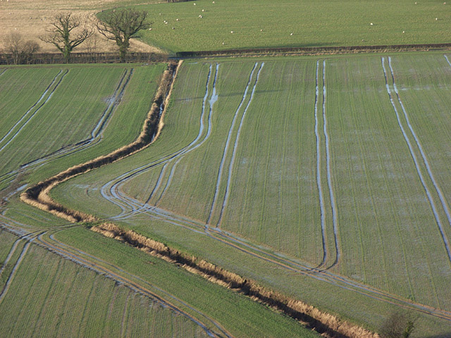
English: Farmland beside Chalmerston Road. The road is behind the hedgerow running horizontally across the picture. The ditch is the one marked on the map that crosses the arable field to the west of the River Forth between Hill of Drip and Cowden. The bottom third of the picture is of NS7795. It is the view from the top of the crag at Craigforth. |
||
| Date | |||
| Source | geograph.org.uk | ||
| Author | Andrew Smith | ||
| Permission (Reusing this file) |
This file is licensed under the Creative Commons Attribution-Share Alike 2.0 Generic license. Attribution: Andrew Smith
|
||
| Attribution (required by the license) | Andrew Smith / Farmland beside Chalmerston Road / | ||

| Camera location | | View this and other nearby images on: OpenStreetMap |
|---|
_heading:315.00&language=en)
| Object location | | View this and other nearby images on: OpenStreetMap |
|---|
_heading:315.00&language=en)
- Remove redundant categories and try to put this image in the most specific category/categories
- Remove this template
- The location categories are based on information from this geonames tool and this OpenStreetMap tool combined with a database. You can also have a look at this tool from mysociety.
- The topic category from Geograph was Farmland (find similar images at Geograph)
File history
Click on a date/time to view the file as it appeared at that time.
| Date/Time | Thumbnail | Dimensions | User | Comment | |
|---|---|---|---|---|---|
| current | 14:52, 30 December 2010 | | 640 × 480 (153 KB) | GeographBot (talk | contribs) | == {{int:filedesc}} == {{Information |description={{en|1=Farmland beside Chalmerston Road The road is behind the hedgerow running horizontally across the picture. The ditch is the one marked on the map that crosses the arable field to the west of the Rive |
You cannot overwrite this file.
File usage on Commons
There are no pages that use this file.