File:Farmland, Beaminster - geograph.org.uk - 558654.jpg
Jump to navigation
Jump to search
No higher resolution available.
Farmland,_Beaminster_-_geograph.org.uk_-_558654.jpg (640 × 480 pixels, file size: 165 KB, MIME type: image/jpeg)
Captions
Captions
Add a one-line explanation of what this file represents
Summary
[edit]| Description |
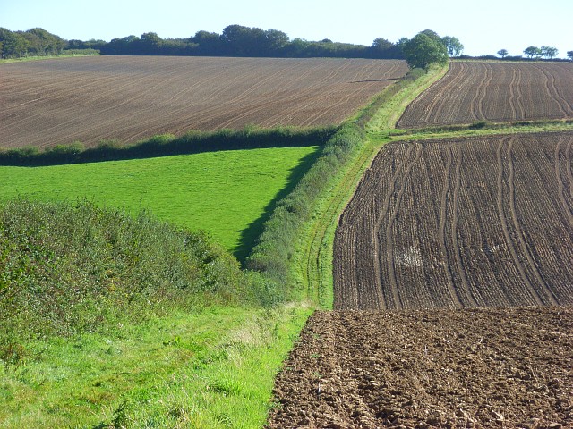
English: Farmland, Beaminster. This is on the bridleway that has been diverted to avoid Higher Langdon. The position of the bridleway is shown to be about a hundred yards further south on the 1:50000 map than on the 1:25000 map. |
||
| Date | |||
| Source | geograph.org.uk | ||
| Author | Andrew Smith | ||
| Permission (Reusing this file) |
This file is licensed under the Creative Commons Attribution-Share Alike 2.0 Generic license. Attribution: Andrew Smith
|
||
| Attribution (required by the license) | Andrew Smith / Farmland, Beaminster / | ||

| Camera location | | View this and other nearby images on: OpenStreetMap |
|---|
_heading:67.00&language=en)
| Object location | | View this and other nearby images on: OpenStreetMap |
|---|
_heading:67.00&language=en)
File history
Click on a date/time to view the file as it appeared at that time.
| Date/Time | Thumbnail | Dimensions | User | Comment | |
|---|---|---|---|---|---|
| current | 02:50, 6 February 2011 | | 640 × 480 (165 KB) | GeographBot (talk | contribs) | == {{int:filedesc}} == {{Information |description={{en|1=Farmland, Beaminster This is on the bridleway that has been diverted to avoid Higher Langdon. The position of the bridleway is shown to be about a hundred yards further south on the 1:50000 map than |
You cannot overwrite this file.
File usage on Commons
There are no pages that use this file.