File:Farm cul-de-sac - geograph.org.uk - 1185461.jpg
Jump to navigation
Jump to search
No higher resolution available.
Farm_cul-de-sac_-_geograph.org.uk_-_1185461.jpg (640 × 480 pixels, file size: 178 KB, MIME type: image/jpeg)
Captions
Captions
Add a one-line explanation of what this file represents
Summary
[edit]
| Description |
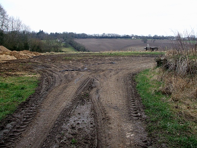
English: Farm cul-de-sac. As Ashotts Lane kinks leftwards at 1185450, this is the view straight on where the farm's tractors obviously deposit some of their loads and then turn round by the looks of it. Looking at the map I think the properties that can be seen in the distance here are - from left to right:
Ashotts Cottages (comprising Field Cottage & Ashott Cottage) by the hedgerow. Next comes "Tall Oaks" then "Baroka" both to the right of centre, the next property would be "Sundance" but I can't make that out, then on the far right is Chartridge End Farm. |
| Date | |
| Source | From geograph.org.uk |
| Author | Rob Farrow |
| Attribution (required by the license) | Rob Farrow / Farm cul-de-sac / |
| Camera location | | View this and other nearby images on: OpenStreetMap |
|---|
_heading:225.00&language=en)
| Object location | | View this and other nearby images on: OpenStreetMap |
|---|
_heading:225.00&language=en)
Licensing
[edit]

|
This image was taken from the Geograph project collection. See this photograph's page on the Geograph website for the photographer's contact details. The copyright on this image is owned by Rob Farrow and is licensed for reuse under the Creative Commons Attribution-ShareAlike 2.0 license.
|
This file is licensed under the Creative Commons Attribution-Share Alike 2.0 Generic license.
Attribution: Rob Farrow
- You are free:
- to share – to copy, distribute and transmit the work
- to remix – to adapt the work
- Under the following conditions:
- attribution – You must give appropriate credit, provide a link to the license, and indicate if changes were made. You may do so in any reasonable manner, but not in any way that suggests the licensor endorses you or your use.
- share alike – If you remix, transform, or build upon the material, you must distribute your contributions under the same or compatible license as the original.
File history
Click on a date/time to view the file as it appeared at that time.
| Date/Time | Thumbnail | Dimensions | User | Comment | |
|---|---|---|---|---|---|
| current | 20:40, 25 February 2011 | | 640 × 480 (178 KB) | GeographBot (talk | contribs) | == {{int:filedesc}} == {{Information |description={{en|1=Farm cul-de-sac As Ashotts Lane kinks leftwards at [1185450], this is the view straight on where the farm's tractors obviously deposit some of their loads and then turn round by the looks of it. |
You cannot overwrite this file.
File usage on Commons
There are no pages that use this file.