File:Falk Oberdorf Topographi Roedinghausen.PNG
Jump to navigation
Jump to search
Size of this preview: 542 × 599 pixels. Other resolutions: 217 × 240 pixels | 434 × 480 pixels | 657 × 726 pixels.
Original file (657 × 726 pixels, file size: 128 KB, MIME type: image/png)
Captions
Captions
Add a one-line explanation of what this file represents
Summary
[edit]
| Description |
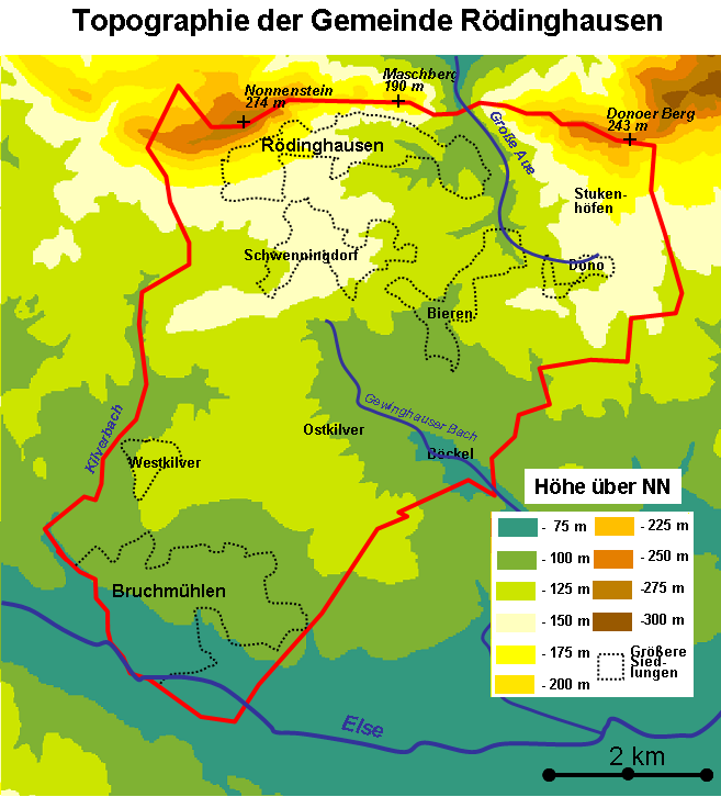
Deutsch: Topographie der Gemeinde Rödinghausen |
| Date | |
| Source | selbt gezeichnet nach Vorlage topographische Karte 1:50.000 |
| Author | Falk Oberdorf, Osterstr, 8, 32312 Lübbecke |
| Permission (Reusing this file) |
Flk-Brdrf |
| Object location | | View this and other nearby images on: OpenStreetMap |
|---|
Licensing
[edit]

|
Permission is granted to copy, distribute and/or modify this document under the terms of the GNU Free Documentation License, Version 1.2 or any later version published by the Free Software Foundation; with no Invariant Sections, no Front-Cover Texts, and no Back-Cover Texts. A copy of the license is included in the section entitled GNU Free Documentation License. |
This file is licensed under the Creative Commons Attribution-Share Alike 3.0 Unported license.
- You are free:
- to share – to copy, distribute and transmit the work
- to remix – to adapt the work
- Under the following conditions:
- attribution – You must give appropriate credit, provide a link to the license, and indicate if changes were made. You may do so in any reasonable manner, but not in any way that suggests the licensor endorses you or your use.
- share alike – If you remix, transform, or build upon the material, you must distribute your contributions under the same or compatible license as the original.
This file is licensed under the Creative Commons Attribution-Share Alike 3.0 Germany license.
- You are free:
- to share – to copy, distribute and transmit the work
- to remix – to adapt the work
- Under the following conditions:
- attribution – You must give appropriate credit, provide a link to the license, and indicate if changes were made. You may do so in any reasonable manner, but not in any way that suggests the licensor endorses you or your use.
- share alike – If you remix, transform, or build upon the material, you must distribute your contributions under the same or compatible license as the original.

Original upload log
[edit]
Transferred from de.wikipedia to Commons by Ireas using CommonsHelper.
The original description page was here. All following user names refer to de.wikipedia.
- 2011-01-24 19:10 Flk-Brdrf 657×726× (131227 bytes) {{Information |Beschreibung = Topographie der Gemeinde Rödinghausen |Quelle = selbt gezeichnet nach Vorlage topographische Karte 1:50.000 |Urheber = Falk Oberdorf, Osterstr, 8, 32312 Lübbecke |Datum = 24.01.2011 |Genehmigung = ~~~ |Andere Versionen = |Anmerkungen = }}
File history
Click on a date/time to view the file as it appeared at that time.
| Date/Time | Thumbnail | Dimensions | User | Comment | |
|---|---|---|---|---|---|
| current | 18:38, 27 January 2011 | | 657 × 726 (128 KB) | File Upload Bot (Magnus Manske) (talk | contribs) | {{BotMoveToCommons|de.wikipedia|year={{subst:CURRENTYEAR}}|month={{subst:CURRENTMONTHNAME}}|day={{subst:CURRENTDAY}}}} {{Information |Description={{de|Topographie der Gemeinde Rödinghausen}} |Source=Transferred from [http://de.wikipedia.org de.wikipedia |
You cannot overwrite this file.
File usage on Commons
There are no pages that use this file.
File usage on other wikis
The following other wikis use this file:
- Usage on de.wikipedia.org
- Usage on ja.wikipedia.org
- Usage on nl.wikipedia.org