File:FMTM -4.jpg
Jump to navigation
Jump to search

Size of this preview: 400 × 600 pixels. Other resolutions: 160 × 240 pixels | 320 × 480 pixels | 512 × 768 pixels | 682 × 1,024 pixels | 1,365 × 2,048 pixels | 3,840 × 5,760 pixels.
Original file (3,840 × 5,760 pixels, file size: 1.32 MB, MIME type: image/jpeg)
Captions
Captions
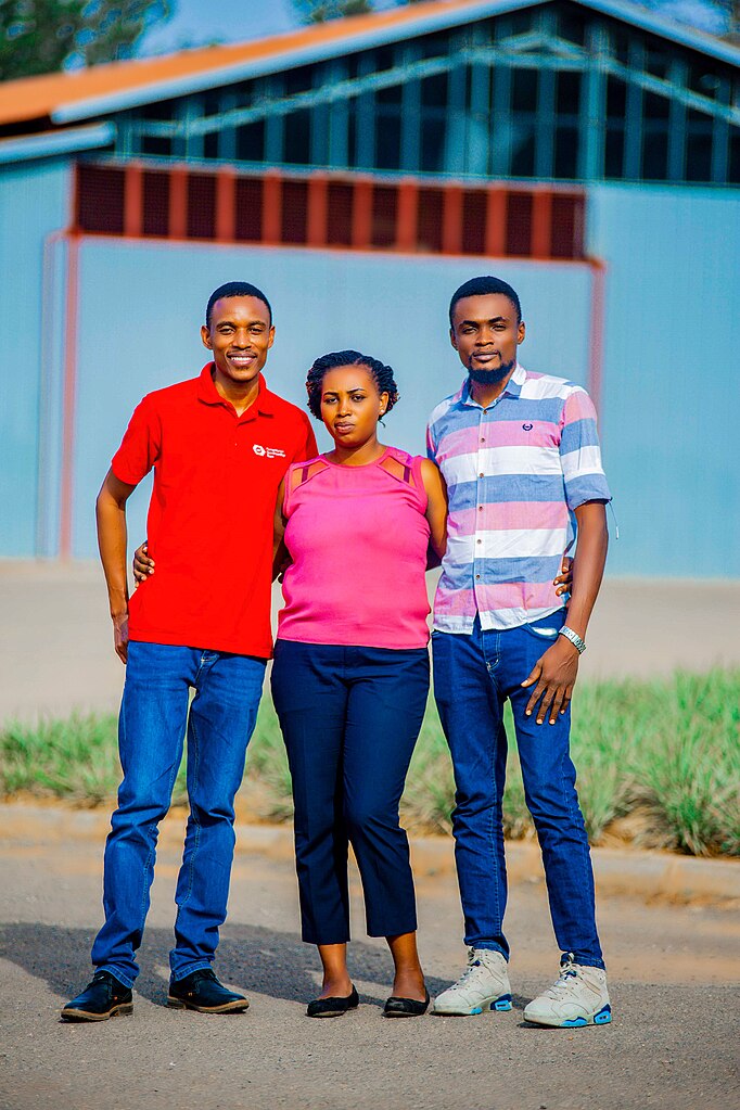
HOT FMTM Testing of Buildings in Rwanda
Summary
[edit]
| Description |
English: The Field Mapping Test Mission (FMTM) has undertaken a vital role in conducting building assessments, focusing on the collection of critical data related to flooding and landslides. This initiative, powered by the robust capabilities of OpenStreetMap (OSM), is dedicated to harnessing geospatial insights to enhance disaster preparedness and response. By conducting thorough building assessments and mapping flood-prone and landslide-prone areas, FMTM leverages the collaborative strength of OSM to contribute to informed decision-making and resilient communities. |
| Date | |
| Source | Own work |
| Author | KingVik Planet |
Licensing
[edit]
I, the copyright holder of this work, hereby publish it under the following license:
This file is licensed under the Creative Commons Attribution-Share Alike 4.0 International license.
- You are free:
- to share – to copy, distribute and transmit the work
- to remix – to adapt the work
- Under the following conditions:
- attribution – You must give appropriate credit, provide a link to the license, and indicate if changes were made. You may do so in any reasonable manner, but not in any way that suggests the licensor endorses you or your use.
- share alike – If you remix, transform, or build upon the material, you must distribute your contributions under the same or compatible license as the original.
File history
Click on a date/time to view the file as it appeared at that time.
| Date/Time | Thumbnail | Dimensions | User | Comment | |
|---|---|---|---|---|---|
| current | 12:01, 10 August 2023 | | 3,840 × 5,760 (1.32 MB) | KingVik Planet (talk | contribs) | Uploaded own work with UploadWizard |
You cannot overwrite this file.
File usage on Commons
There are no pages that use this file.