File:Főstrasse 33, Gedenktafel Benediktinerabtei Ercs, 2023 Ercsi.jpg
Jump to navigation
Jump to search
Size of this preview: 800 × 510 pixels. Other resolutions: 320 × 204 pixels | 640 × 408 pixels | 949 × 605 pixels.
Original file (949 × 605 pixels, file size: 119 KB, MIME type: image/jpeg)
Captions
Captions
Add a one-line explanation of what this file represents
Summary
[edit]
| Description |
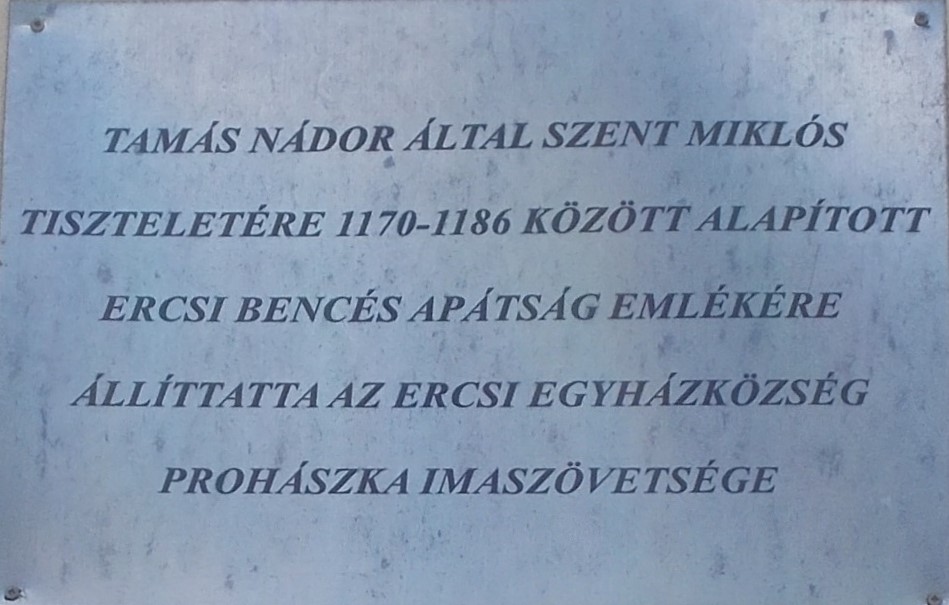
English:
Magyar:
|
||
| Date | July 2023 | ||
| Source | Own work | ||
| Author | Globetrotter19 |
| Object location | | View this and other nearby images on: OpenStreetMap |
|---|
Licensing
[edit]
I, the copyright holder of this work, hereby publish it under the following license:
This file is licensed under the Creative Commons Attribution-Share Alike 3.0 Unported license.
- You are free:
- to share – to copy, distribute and transmit the work
- to remix – to adapt the work
- Under the following conditions:
- attribution – You must give appropriate credit, provide a link to the license, and indicate if changes were made. You may do so in any reasonable manner, but not in any way that suggests the licensor endorses you or your use.
- share alike – If you remix, transform, or build upon the material, you must distribute your contributions under the same or compatible license as the original.
File history
Click on a date/time to view the file as it appeared at that time.
| Date/Time | Thumbnail | Dimensions | User | Comment | |
|---|---|---|---|---|---|
| current | 17:50, 26 October 2023 | | 949 × 605 (119 KB) | Globetrotter19 (talk | contribs) | Uploaded own work with UploadWizard |
You cannot overwrite this file.
File usage on Commons
There are no pages that use this file.
Metadata
This file contains additional information such as Exif metadata which may have been added by the digital camera, scanner, or software program used to create or digitize it. If the file has been modified from its original state, some details such as the timestamp may not fully reflect those of the original file. The timestamp is only as accurate as the clock in the camera, and it may be completely wrong.
| Exposure time | 1/125 sec (0.008) | ||||||
|---|---|---|---|---|---|---|---|
| F-number | f/6.3 | ||||||
| Date and time of data generation | 13:39, 27 July 2024 | ||||||
| Lens focal length | 15.4 mm | ||||||
| Short title |
| ||||||
| Date and time of digitizing | 13:39, 27 July 2024 | ||||||
| APEX exposure bias | 0 | ||||||
| Maximum land aperture | 3.4 APEX (f/3.25) | ||||||
| DateTimeOriginal subseconds | 00 | ||||||
| DateTimeDigitized subseconds | 00 | ||||||
| Digital zoom ratio | 0 |