File:Extra-Tropical Storm Surge Map 2023-05-18.gif
Jump to navigation
Jump to search
No higher resolution available.
Extra-Tropical_Storm_Surge_Map_2023-05-18.gif (620 × 600 pixels, file size: 62 KB, MIME type: image/gif)
Captions
Captions
Extra-Tropical Storm Surge Map 2023-05-18
Summary
[edit]
| Description |
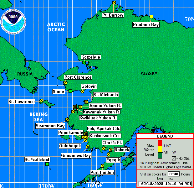
English: Extra-Tropical Storm Surge Map 2023-05-18 (Ak0-48) |
| Date | |
| Source | https://www.nws.noaa.gov/mdl/etsurge/index.php?page=map®ion=ak |
| Author | NOAA |
Licensing
[edit]
This image is in the public domain because it contains materials that originally came from the U.S. National Oceanic and Atmospheric Administration, taken or made as part of an employee's official duties.
|
File history
Click on a date/time to view the file as it appeared at that time.
| Date/Time | Thumbnail | Dimensions | User | Comment | |
|---|---|---|---|---|---|
| current | 09:19, 18 May 2023 | | 620 × 600 (62 KB) | Fumikas Sagisavas (talk | contribs) | Uploaded a work by NOAA from https://www.nws.noaa.gov/mdl/etsurge/index.php?page=map®ion=ak with UploadWizard |
You cannot overwrite this file.
File usage on Commons
The following page uses this file: