File:Exposed bank of Leeds and Liverpool Canal, Aintree.jpg
Jump to navigation
Jump to search
Size of this preview: 800 × 533 pixels. Other resolutions: 320 × 213 pixels | 640 × 426 pixels | 1,024 × 682 pixels | 1,280 × 853 pixels | 2,560 × 1,705 pixels | 5,198 × 3,462 pixels.
Original file (5,198 × 3,462 pixels, file size: 27.43 MB, MIME type: image/jpeg)
Captions
Captions
Add a one-line explanation of what this file represents
Summary
[edit]
| Description |
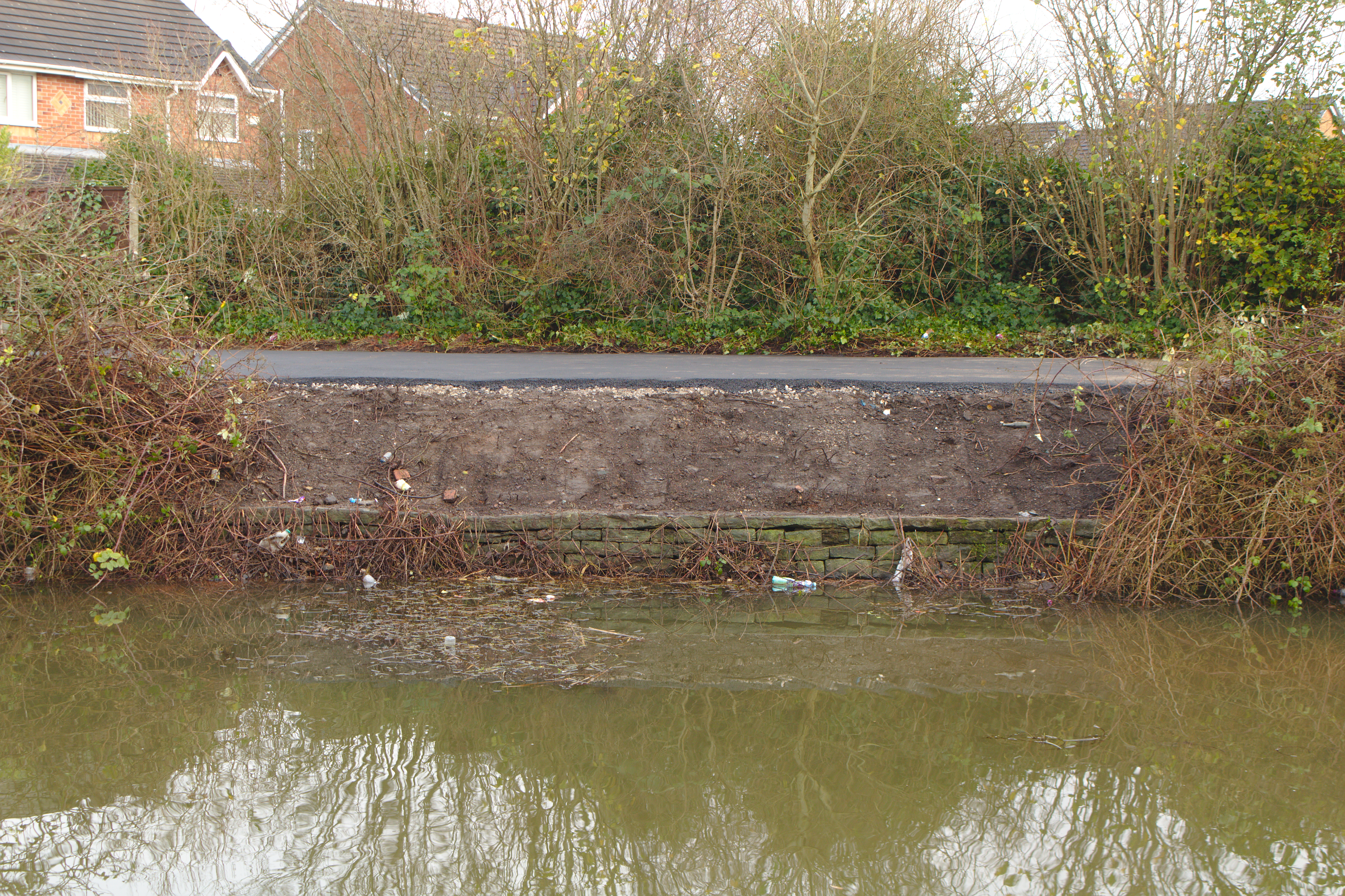
English: South of the M57 viaduct, on the left bank, a new tarmac path has been laid and the undergrowth cut back to expose the original stone bank. |
| Date | Taken on 22 December 2020 13:49:25 |
| Source | Own work |
| Author | Rodhullandemu |
| Object location | | View this and other nearby images on: OpenStreetMap |
|---|
Licensing
[edit]

|
The copyright holder of this file, User:Rodhullandemu, allows anyone to use it for any purpose, provided that the copyright holder is properly attributed. Redistribution, derivative work, commercial use, and all other use is permitted. |
Attribution:
By Phil Nash from Wikimedia Commons CC BY-SA 4.0 & GFDL Views
|
File history
Click on a date/time to view the file as it appeared at that time.
| Date/Time | Thumbnail | Dimensions | User | Comment | |
|---|---|---|---|---|---|
| current | 20:02, 13 January 2021 | | 5,198 × 3,462 (27.43 MB) | Rodhullandemu (talk | contribs) | Uploaded own work with UploadWizard |
You cannot overwrite this file.
File usage on Commons
There are no pages that use this file.