File:Expédition Langsdorff.svg
Jump to navigation
Jump to search

Size of this PNG preview of this SVG file: 800 × 582 pixels. Other resolutions: 320 × 233 pixels | 640 × 465 pixels | 1,024 × 744 pixels | 1,280 × 931 pixels | 2,560 × 1,861 pixels | 806 × 586 pixels.
Original file (SVG file, nominally 806 × 586 pixels, file size: 345 KB)
Captions
Captions
Add a one-line explanation of what this file represents
Summary
[edit]
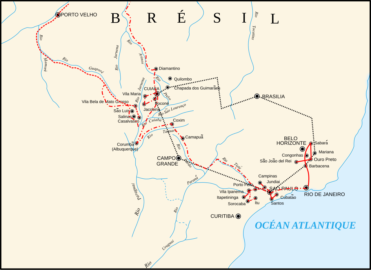
| Description | Carte de l'expédition de G.H Langsdorff en 1826 vers le Mato Grosso (tirée d'une carte Jpg du domaine public sur wikipédia.en) |
| Date | |
| Source | Own work |
| Author | Ewan ar Born |
Licensing
[edit]
I, the copyright holder of this work, hereby publish it under the following licenses:

|
Permission is granted to copy, distribute and/or modify this document under the terms of the GNU Free Documentation License, Version 1.2 or any later version published by the Free Software Foundation; with no Invariant Sections, no Front-Cover Texts, and no Back-Cover Texts. A copy of the license is included in the section entitled GNU Free Documentation License. |
This file is licensed under the Creative Commons Attribution-Share Alike 3.0 Unported, 2.5 Generic, 2.0 Generic and 1.0 Generic license.
- You are free:
- to share – to copy, distribute and transmit the work
- to remix – to adapt the work
- Under the following conditions:
- attribution – You must give appropriate credit, provide a link to the license, and indicate if changes were made. You may do so in any reasonable manner, but not in any way that suggests the licensor endorses you or your use.
- share alike – If you remix, transform, or build upon the material, you must distribute your contributions under the same or compatible license as the original.
You may select the license of your choice.
File history
Click on a date/time to view the file as it appeared at that time.
| Date/Time | Thumbnail | Dimensions | User | Comment | |
|---|---|---|---|---|---|
| current | 10:50, 21 February 2008 | | 806 × 586 (345 KB) | Pinpin (talk | contribs) | Ajustement du document au cadre |
| 10:27, 21 February 2008 |  | 833 × 608 (347 KB) | Ewan ar Born (talk | contribs) | orth | |
| 13:11, 20 February 2008 |  | 833 × 608 (346 KB) | Ewan ar Born (talk | contribs) | ajouter Brésil et Océan Atlantique | |
| 17:00, 9 February 2008 |  | 806 × 586 (330 KB) | Pinpin (talk | contribs) | ||
| 12:36, 9 February 2008 |  | 833 × 608 (330 KB) | Ewan ar Born (talk | contribs) | Version Expédition Langsdorff 1826 Mato Grosso modifiée Category:Maps of History of Brazil | |
| 15:46, 8 February 2008 |  | 835 × 609 (329 KB) | Ewan ar Born (talk | contribs) | Expédition Landsdorff (1826) vers le Mato Grosso Category:Maps of history of Brazil | |
| 15:30, 8 February 2008 |  | 835 × 609 (329 KB) | Ewan ar Born (talk | contribs) | Category:Maps of history of Brazil Voir autre version Category:Maps of history of Brazil | |
| 17:18, 7 February 2008 |  | 835 × 611 (330 KB) | Ewan ar Born (talk | contribs) | {{Information |Description= Carte de l'expédition de G.H Langsdorff en 1826 vers le Mato Grosso (tirée d'une carte Jpg du domaine public sur wikipédia.en) |Source=travail personnel |Date= 10 février 2008 |Author= Ewan ar Born |Pe |
You cannot overwrite this file.
File usage on Commons
There are no pages that use this file.
File usage on other wikis
The following other wikis use this file:
- Usage on bg.wikipedia.org
- Usage on es.wikipedia.org
- Usage on fr.wikipedia.org
- Usage on fr.wikiversity.org