File:European Union Morocco Locator.svg
Jump to navigation
Jump to search

Size of this PNG preview of this SVG file: 800 × 411 pixels. Other resolutions: 320 × 164 pixels | 640 × 329 pixels | 1,024 × 526 pixels | 1,280 × 657 pixels | 2,560 × 1,314 pixels | 863 × 443 pixels.
Original file (SVG file, nominally 863 × 443 pixels, file size: 1.58 MB)
Captions
Captions
Add a one-line explanation of what this file represents
Summary
[edit]
| Description |
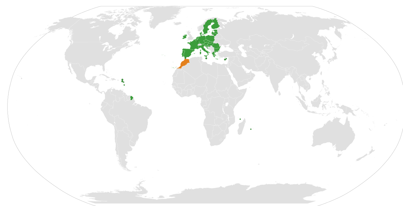
English: The European Union and Morocco |
| Date | |
| Source | Own work |
| Author | Ssolbergj |
Licensing
[edit]
I, the copyright holder of this work, hereby publish it under the following license:
This file is licensed under the Creative Commons Attribution 3.0 Unported license.
- You are free:
- to share – to copy, distribute and transmit the work
- to remix – to adapt the work
- Under the following conditions:
- attribution – You must give appropriate credit, provide a link to the license, and indicate if changes were made. You may do so in any reasonable manner, but not in any way that suggests the licensor endorses you or your use.
File history
Click on a date/time to view the file as it appeared at that time.
| Date/Time | Thumbnail | Dimensions | User | Comment | |
|---|---|---|---|---|---|
| current | 10:17, 30 July 2023 | | 863 × 443 (1.58 MB) | M.Bitton (talk | contribs) | Brexit |
| 14:37, 28 March 2021 |  | 863 × 443 (1.58 MB) | Raio solar (talk | contribs) | Reverted to version as of 03:43, 21 August 2013 (UTC) | |
| 13:19, 26 March 2020 |  | 638 × 328 (1.69 MB) | Hogweard (talk | contribs) | Update | |
| 03:43, 21 August 2013 |  | 863 × 443 (1.58 MB) | Spesh531 (talk | contribs) | removed black around cape verde | |
| 03:38, 21 August 2013 |  | 863 × 443 (1.58 MB) | Spesh531 (talk | contribs) | croatia and color update | |
| 00:20, 15 May 2010 |  | 940 × 415 (1.52 MB) | CGN2010 (talk | contribs) | {{Information |Description=European Union - Morocco locator map |Source={{own}} |Date=2010-05-15 |Author={{own}} |Permission={{PD-self}} |other_versions= }} Category:Bilateral maps of the European Union Category:maps of Morocco | |
| 13:11, 31 May 2008 |  | 999 × 553 (577 KB) | Ssolbergj (talk | contribs) | {{Information |Description={{en|1=The European Union and Morocco}} |Source=Own work by uploader |Author=Ssolbergj |Date=31 May 2008 |Permission= |other_versions= }} {{ImageUpload|full}} [[Category:Maps of the European Union and third c |
You cannot overwrite this file.
File usage on Commons
There are no pages that use this file.
File usage on other wikis
The following other wikis use this file:
- Usage on ar.wikipedia.org
- Usage on en.wikipedia.org
- Usage on fr.wikipedia.org
- Usage on nl.wikipedia.org
- Usage on pt.wikipedia.org
- Usage on uk.wikipedia.org