File:European Soviet Union.svg
Jump to navigation
Jump to search

Size of this PNG preview of this SVG file: 441 × 599 pixels. Other resolutions: 177 × 240 pixels | 353 × 480 pixels | 565 × 768 pixels | 754 × 1,024 pixels | 1,508 × 2,048 pixels | 1,217 × 1,653 pixels.
Original file (SVG file, nominally 1,217 × 1,653 pixels, file size: 2.11 MB)
Captions
Captions
Add a one-line explanation of what this file represents
Summary
[edit]| Description |
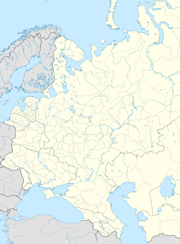
English: Location map of European Soviet Union
Italiano: Mappa di localizzazione dell'Unione Sovietica europea
| x = 207.1545*cos( {{{2}}}*0.01745329252 )*sin( ({{{3}}} - 42.5)*0.01745329252 ) *
  ( ((1 + sin( {{{2}}}*0.01745329252 )*sin( 57.5*0.01745329252 )
        + cos( {{{2}}}*0.01745329252 )*cos( 57.5*0.01745329252 )*cos( ({{{3}}} - 42.5)*0.01745329252 ) ) *0.5)^ -0.5)
     + 48.5179
| y = 47.93647 - 152.1851*( cos( 57.5*0.01745329252 )*sin( {{{2}}}*0.01745329252 )
         - sin( 57.5*0.01745329252 )*cos( {{{2}}}*0.01745329252 )*cos( ({{{3}}} - 42.5)*0.01745329252 ) ) *
  ( ((1 + sin( {{{2}}}*0.01745329252 )*sin( 57.5*0.01745329252 )
        + cos( {{{2}}}*0.01745329252 )*cos( 57.5*0.01745329252 )*cos( ({{{3}}} - 42.5)*0.01745329252 ) ) *0.5)^ - 0.5)
|
||
| Date | |||
| Source | Based on Uwe Dedering's file European Russia laea location map.svg | ||
| Author | Blackcat | ||
| Permission (Reusing this file) |
I, the copyright holder of this work, hereby publish it under the following licenses: This file is licensed under the Creative Commons Attribution-Share Alike 3.0 Unported license.
You may select the license of your choice. |

File history
Click on a date/time to view the file as it appeared at that time.
| Date/Time | Thumbnail | Dimensions | User | Comment | |
|---|---|---|---|---|---|
| current | 06:10, 19 October 2018 | | 1,217 × 1,653 (2.11 MB) | Milenioscuro (talk | contribs) | corrected borders of some internal republics, lakes, and oceans |
| 17:03, 20 April 2012 |  | 1,210 × 1,650 (4.9 MB) | Blackcat (talk | contribs) |
You cannot overwrite this file.
File usage on Commons
There are no pages that use this file.
File usage on other wikis
The following other wikis use this file:
- Usage on ar.wikipedia.org
- Usage on ceb.wikipedia.org
- Usage on es.wikipedia.org
- Usage on fr.wikipedia.org
- Usage on it.wikipedia.org
- Collisione aerea di Dniprodzeržyns'k
- Discussioni utente:Dwalin/Archivio4
- Template:Mappa di localizzazione/SUN W
- Energia nucleare in Unione Sovietica
- Volo Aeroflot 8641
- Volo Aeroflot 6502
- Volo Aeroflot 25
- Volo Aeroflot 513
- Volo Aeroflot 65
- Volo Aeroflot 217
- Volo Aeroflot 1036
- Volo Aeroflot 964
- Volo Aeroflot 909
- Volo Aeroflot 558
- Volo Aeroflot 3932
- Volo Aeroflot 2022
- Volo Aeroflot 5003 (1977)
- Incidente dell'Ilyushin Il-18 di Aeroflot del 1974
- Volo Aeroflot 411
- Volo Aeroflot 245
- Volo Aeroflot 2415
- Volo Aeroflot 773
- Volo Aeroflot 6833
- Volo Aeroflot 2003
- Volo Balkan Bulgarian Airlines 307
- Volo Aeroflot 366
- Volo Aeroflot 3739 (1988)
- Volo Aeroflot 19
- Volo Aeroflot 99
- Volo Aeroflot 5484
- Volo Austrian Airlines 901
- Volo Aeroflot 1802
- Collisione aerea di Anapa
- Usage on kn.wikipedia.org
- Usage on tr.wikipedia.org
- Usage on war.wikipedia.org