File:Europe satellite image location map.jpg
Jump to navigation
Jump to search

Size of this preview: 800 × 536 pixels. Other resolutions: 320 × 215 pixels | 640 × 429 pixels | 1,024 × 687 pixels | 1,280 × 858 pixels | 2,560 × 1,716 pixels | 5,668 × 3,800 pixels.
Original file (5,668 × 3,800 pixels, file size: 1.83 MB, MIME type: image/jpeg)
Captions
Captions
Add a one-line explanation of what this file represents
Summary
[edit]
| Description |
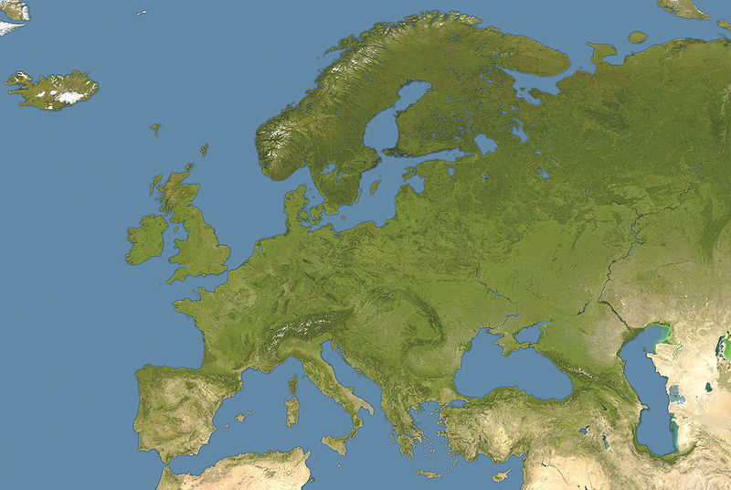
Deutsch: Positionskarte von Europa, Satellitenbild
Quadratische Plattkarte, N-S-Streckung 150 %. Geographische Begrenzung der Karte:
English: Location map of Europe, satellite image
Equirectangular projection, N/S stretching 150 %. Geographic limits of the map:
|
| Date | |
| Source | own work, cropped and colour-edited version of image:Whole world - land and oceans 12000.jpg by NASA/Goddard Space Flight Center |
| Author | NordNordWest |
| Other versions |
Derivative works of this file: |

|
This map has been made or improved in the German Kartenwerkstatt (Map Lab). You can propose maps to improve as well.
|
Licensing
[edit]
| I, the copyright holder of this work, release this work into the public domain. This applies worldwide. In some countries this may not be legally possible; if so: I grant anyone the right to use this work for any purpose, without any conditions, unless such conditions are required by law. |
File history
Click on a date/time to view the file as it appeared at that time.
| Date/Time | Thumbnail | Dimensions | User | Comment | |
|---|---|---|---|---|---|
| current | 12:40, 28 September 2008 | | 5,668 × 3,800 (1.83 MB) | NordNordWest (talk | contribs) | {{Information |Description= {{de|Positionskarte von Europa, Satellitenbild}} Quadratische Plattkarte, N-S-Streckung 150 %. Geographische Begrenzung der Karte: * N: 74° N * S: 34° N * W: 25° W * O: 60° O {{en|Location map of [[:en:Europe |
You cannot overwrite this file.
File usage on Commons
The following 5 pages use this file:
File usage on other wikis
The following other wikis use this file:
- Usage on av.wikipedia.org
- Usage on ba.wikipedia.org
- Usage on cs.wikiquote.org
- Usage on de.wikipedia.org
- Le Mans Series 2006
- Champions Hockey League 2008/09
- Wikipedia:Kartenwerkstatt/Positionskarten/Europa
- Vorlage:Positionskarte Europa Satellitenbild
- Champions Hockey League 2009/10
- European Hockey League 1996/97
- European Hockey League 1999/2000
- European Hockey League 1998/99
- European Hockey League 1997/98
- Usage on en.wikipedia.org
- Usage on inh.wikipedia.org
- Usage on kk.wikipedia.org
- Usage on pl.wikipedia.org
- Usage on pl.wikibooks.org
- Usage on pl.wiktionary.org
- Usage on pt.wikipedia.org
- Usage on ru.wikipedia.org
- Usage on sk.wikipedia.org
- Usage on sv.wikipedia.org
- Usage on uk.wikipedia.org