File:Etterbeek1700.jpg
Jump to navigation
Jump to search

Size of this preview: 800 × 518 pixels. Other resolutions: 320 × 207 pixels | 640 × 415 pixels | 943 × 611 pixels.
Original file (943 × 611 pixels, file size: 217 KB, MIME type: image/jpeg)
Captions
Captions
Add a one-line explanation of what this file represents
Summary
[edit]| Description |
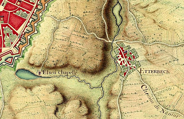
English: Etterbeek in the map of Brussels from Louis XIV, 1700
Français : Plan de Bruxelles provenant de la collection de cartes réunies pour Louis XIV lors de la guerre de succession d'Espagne (1701-1714). Extrait du Recueil de cartes des environs de plusieurs places et de parties de France, des Pays-Bas espagnols et hollandois, d'Allemagne, d'Autriche et d'Italie. |
||||||||
| Date | |||||||||
| Source |
Bibliothèque nationale de France |
||||||||
| Author | Unknown author | ||||||||
| Permission (Reusing this file) |
|
||||||||
| Other versions | |||||||||

| Camera location | | View this and other nearby images on: OpenStreetMap |
|---|
| This is a retouched picture, which means that it has been digitally altered from its original version. Modifications: Luminosity and constrast enhancement, stains and scratches on borders removed, slight global rotation.
|
File history
Click on a date/time to view the file as it appeared at that time.
| Date/Time | Thumbnail | Dimensions | User | Comment | |
|---|---|---|---|---|---|
| current | 21:15, 30 September 2017 | | 943 × 611 (217 KB) | Dans (talk | contribs) | User created page with UploadWizard |
You cannot overwrite this file.
File usage on Commons
There are no pages that use this file.
File usage on other wikis
The following other wikis use this file: