File:Ettendorf rMontée 120c.JPG
From Wikimedia Commons, the free media repository
Jump to navigation
Jump to search
Size of this preview: 800 × 591 pixels. Other resolutions: 320 × 236 pixels | 640 × 473 pixels | 1,024 × 756 pixels | 1,280 × 945 pixels | 2,560 × 1,890 pixels | 3,447 × 2,545 pixels.
Original file (3,447 × 2,545 pixels, file size: 1.94 MB, MIME type: image/jpeg)
File information
Structured data
Captions
Captions
Add a one-line explanation of what this file represents
Summary
[edit]DescriptionEttendorf rMontée 120c.JPG |
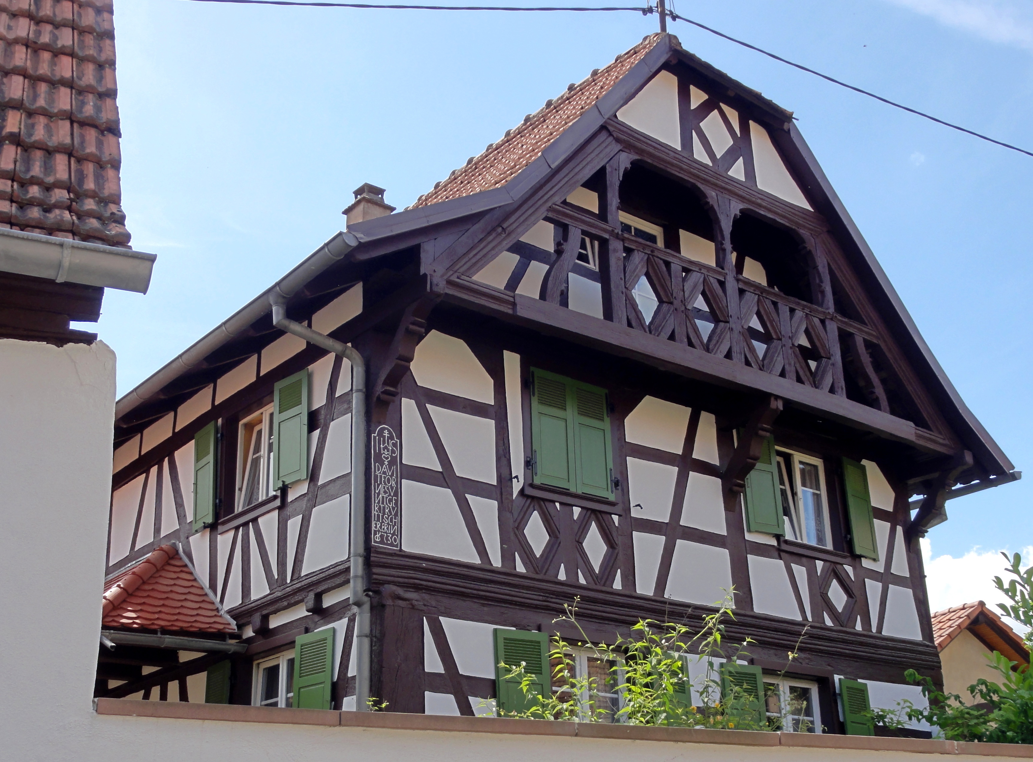
Alsace, Bas-Rhin, Ettendorf, Ferme (1730), 120 rue de la Montée.
|
|
Date | ||
Source | Own work | |
Author | © Ralph Hammann - Wikimedia Commons |
Camera location | 48° 48′ 49.31″ N, 7° 34′ 58.89″ E ![]() ![]() | View this and other nearby images on: OpenStreetMap | ![]() |
---|
Licensing
[edit]I, the copyright holder of this work, hereby publish it under the following license:
![w:en:Creative Commons](https://upload.wikimedia.org/wikipedia/commons/thumb/7/79/CC_some_rights_reserved.svg/90px-CC_some_rights_reserved.svg.png)
![attribution](https://upload.wikimedia.org/wikipedia/commons/thumb/1/11/Cc-by_new_white.svg/24px-Cc-by_new_white.svg.png)
![share alike](https://upload.wikimedia.org/wikipedia/commons/thumb/d/df/Cc-sa_white.svg/24px-Cc-sa_white.svg.png)
This file is licensed under the Creative Commons Attribution-Share Alike 4.0 International license.
- You are free:
- to share – to copy, distribute and transmit the work
- to remix – to adapt the work
- Under the following conditions:
- attribution – You must give appropriate credit, provide a link to the license, and indicate if changes were made. You may do so in any reasonable manner, but not in any way that suggests the licensor endorses you or your use.
- share alike – If you remix, transform, or build upon the material, you must distribute your contributions under the same or compatible license as the original.
File history
Click on a date/time to view the file as it appeared at that time.
Date/Time | Thumbnail | Dimensions | User | Comment | |
---|---|---|---|---|---|
current | 16:01, 24 December 2014 | 3,447 × 2,545 (1.94 MB) | Ralph Hammann (talk | contribs) | User created page with UploadWizard |
You cannot overwrite this file.
File usage on Commons
There are no pages that use this file.
File usage on other wikis
The following other wikis use this file:
Metadata
This file contains additional information such as Exif metadata which may have been added by the digital camera, scanner, or software program used to create or digitize it. If the file has been modified from its original state, some details such as the timestamp may not fully reflect those of the original file. The timestamp is only as accurate as the clock in the camera, and it may be completely wrong.
Camera manufacturer | SONY |
---|---|
Camera model | DSC-HX5V |
Exposure time | 1/100 sec (0.01) |
F-number | f/9 |
ISO speed rating | 125 |
Date and time of data generation | 16:24, 5 June 2014 |
Lens focal length | 7.09 mm |
Latitude | 48° 48′ 49.31″ N |
Longitude | 7° 34′ 58.89″ E |
Altitude | 209.8 meters above sea level |
Orientation | Normal |
Horizontal resolution | 72 dpi |
Vertical resolution | 72 dpi |
File change date and time | 16:24, 5 June 2014 |
Y and C positioning | Co-sited |
Exposure Program | Normal program |
Exif version | 2.21 |
Date and time of digitizing | 16:24, 5 June 2014 |
Meaning of each component |
|
Image compression mode | 4 |
APEX exposure bias | 0 |
Maximum land aperture | 3.625 APEX (f/3.51) |
Metering mode | Pattern |
Light source | Unknown |
Flash | Flash did not fire, compulsory flash suppression |
Supported Flashpix version | 1 |
Color space | sRGB |
File source | Digital still camera |
Scene type | A directly photographed image |
Custom image processing | Normal process |
Exposure mode | Auto exposure |
White balance | Auto white balance |
Scene capture type | Standard |
Contrast | Normal |
Saturation | Normal |
Sharpness | Normal |
GPS time (atomic clock) | 14:22:43.331 |
Receiver status | Measurement interoperability |
Measurement mode | 3-dimensional measurement |
Speed unit | Kilometers per hour |
Speed of GPS receiver | 1.6 |
Reference for direction of movement | True direction |
Direction of movement | 297.61 |
Reference for direction of image | Magnetic direction |
Direction of image | 274.25 |
Geodetic survey data used | WGS-84 |
GPS date | 5 June 2014 |
GPS differential correction | 0 |
GPS tag version | 0.0.2.2 |
Structured data
Items portrayed in this file
depicts
some value
2014
48°48'49.313"N, 7°34'58.890"E
0.01 second
7.09 millimetre
125
image/jpeg
Categories:
- Monuments à l’inventaire in Ettendorf
- Farmhouses in Ettendorf
- Houses in Bas-Rhin built in 1730
- Timber framed houses in Ettendorf
- 1730s timber framing in Arrondissement Saverne
- Diamond figures of timber framing in Ettendorf
- Wooden loggias in gables in Arrondissement Saverne
- Corner posts of timber framing in Ettendorf
Hidden categories:
- Base Mérimée
- Monuments à l’inventaire
- Mérimée with IA parameter
- Cultural heritage monuments in France with known IDs
- Cultural heritage monuments in France missing SDC depicts
- Cultural heritage monuments in France missing SDC location of creation
- Files with coordinates missing SDC location of creation (48° N, 7° E)
- CC-BY-SA-4.0
- Self-published work
- Taken with Sony DSC-HX5V
- Photographs of Bas-Rhin by Ralph Hammann
- Photographs of 18th-century timber framed houses by Ralph Hammann