File:Ethiopia regions map.png
Jump to navigation
Jump to search

Size of this preview: 773 × 599 pixels. Other resolutions: 310 × 240 pixels | 619 × 480 pixels | 991 × 768 pixels | 1,280 × 992 pixels | 2,560 × 1,985 pixels | 2,902 × 2,250 pixels.
Original file (2,902 × 2,250 pixels, file size: 1.33 MB, MIME type: image/png)
Captions
Captions
Add a one-line explanation of what this file represents
Summary
[edit]
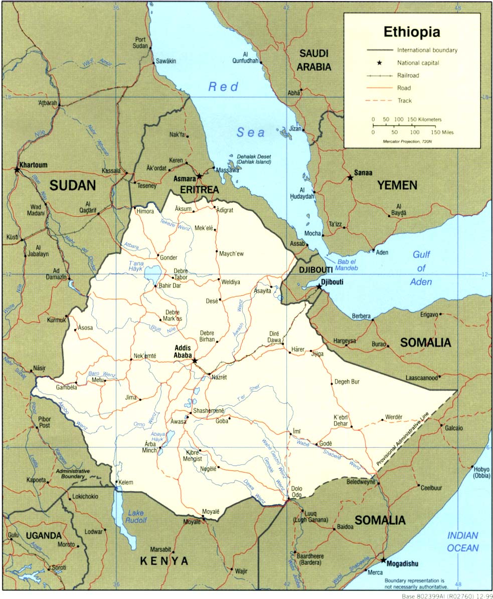
| Description | Ethiopia regions map for use on Wikivoyage, English version |
| Date | |
| Source | Own work based on the blank map of Ethiopia, UN map of Ethiopia, and CIA map |
| Author | Peter Fitzgerald |
| Other versions |
.png)
Licensing
[edit]
This file is licensed under the Creative Commons Attribution-Share Alike 3.0 Unported license.
- You are free:
- to share – to copy, distribute and transmit the work
- to remix – to adapt the work
- Under the following conditions:
- attribution – You must give appropriate credit, provide a link to the license, and indicate if changes were made. You may do so in any reasonable manner, but not in any way that suggests the licensor endorses you or your use.
- share alike – If you remix, transform, or build upon the material, you must distribute your contributions under the same or compatible license as the original.
Original upload log
[edit]
| This file was imported from Wikivoyage WTS. |
The original description page was here. All following user names refer to wts.wikivoyage-old.
- 2008-09-29 14:30 (WT-shared) Peterfitzgerald archive copy at the Wayback Machine 3008×2332 (1200750 bytes) {{Imagecredit|credit=Peter Fitzgerald|captureDate=27 September 2008|location=Ethiopia|source=[[:Image:Ethiopia regions map.svg]]|caption=Eth (Import from wikitravel.org/shared)
- 2011-07-18 17:56 (WT-shared) Peterfitzgerald archive copy at the Wayback Machine 2301×1784 (882724 bytes) +S Sudan, style overhaul (Import from wikitravel.org/shared)
File history
Click on a date/time to view the file as it appeared at that time.
| Date/Time | Thumbnail | Dimensions | User | Comment | |
|---|---|---|---|---|---|
| current | 19:20, 27 October 2014 | | 2,902 × 2,250 (1.33 MB) | Saqib (talk | contribs) | Gambella border fixed |
| 04:31, 13 December 2012 |  | 2,301 × 1,784 (862 KB) | OgreBot (talk | contribs) | (BOT): Reverting to most recent version before archival | |
| 04:31, 13 December 2012 |  | 3,008 × 2,332 (1.15 MB) | OgreBot (talk | contribs) | (BOT): Uploading old version of file from wts.wikivoyage; originally uploaded on 2008-09-29 14:30:07 by (WT-shared) Peterfitzgerald | |
| 23:39, 17 November 2012 |  | 2,301 × 1,784 (862 KB) | MGA73bot2 (talk | contribs) | {{BotMoveToCommons|wts.oldwikivoyage|year={{subst:CURRENTYEAR}}|month={{subst:CURRENTMONTHNAME}}|day={{subst:CURRENTDAY}}}} == {{int:filedesc}} == {{Information |description=Ethiopia regions map. English version, Ethiopia * Map of: Ethiopia¤ |date=27 ... |
You cannot overwrite this file.
File usage on Commons
There are no pages that use this file.
File usage on other wikis
The following other wikis use this file:
- Usage on ca.wikipedia.org
- Usage on el.wikivoyage.org
- Usage on en.wikipedia.org
- Usage on es.wikipedia.org
- Usage on fr.wikivoyage.org
- Usage on he.wikivoyage.org
- Usage on hi.wikipedia.org
- Usage on incubator.wikimedia.org
- Usage on nl.wikivoyage.org
- Usage on pt.wikipedia.org
- Usage on pt.wikivoyage.org
- Usage on sv.wikivoyage.org
- Usage on sw.wikipedia.org
- Usage on vi.wikivoyage.org