File:Eritrea Map.jpg
Jump to navigation
Jump to search
Size of this preview: 527 × 600 pixels. Other resolutions: 211 × 240 pixels | 422 × 480 pixels | 675 × 768 pixels | 1,046 × 1,190 pixels.
Original file (1,046 × 1,190 pixels, file size: 184 KB, MIME type: image/jpeg)
Captions
Captions
Add a one-line explanation of what this file represents
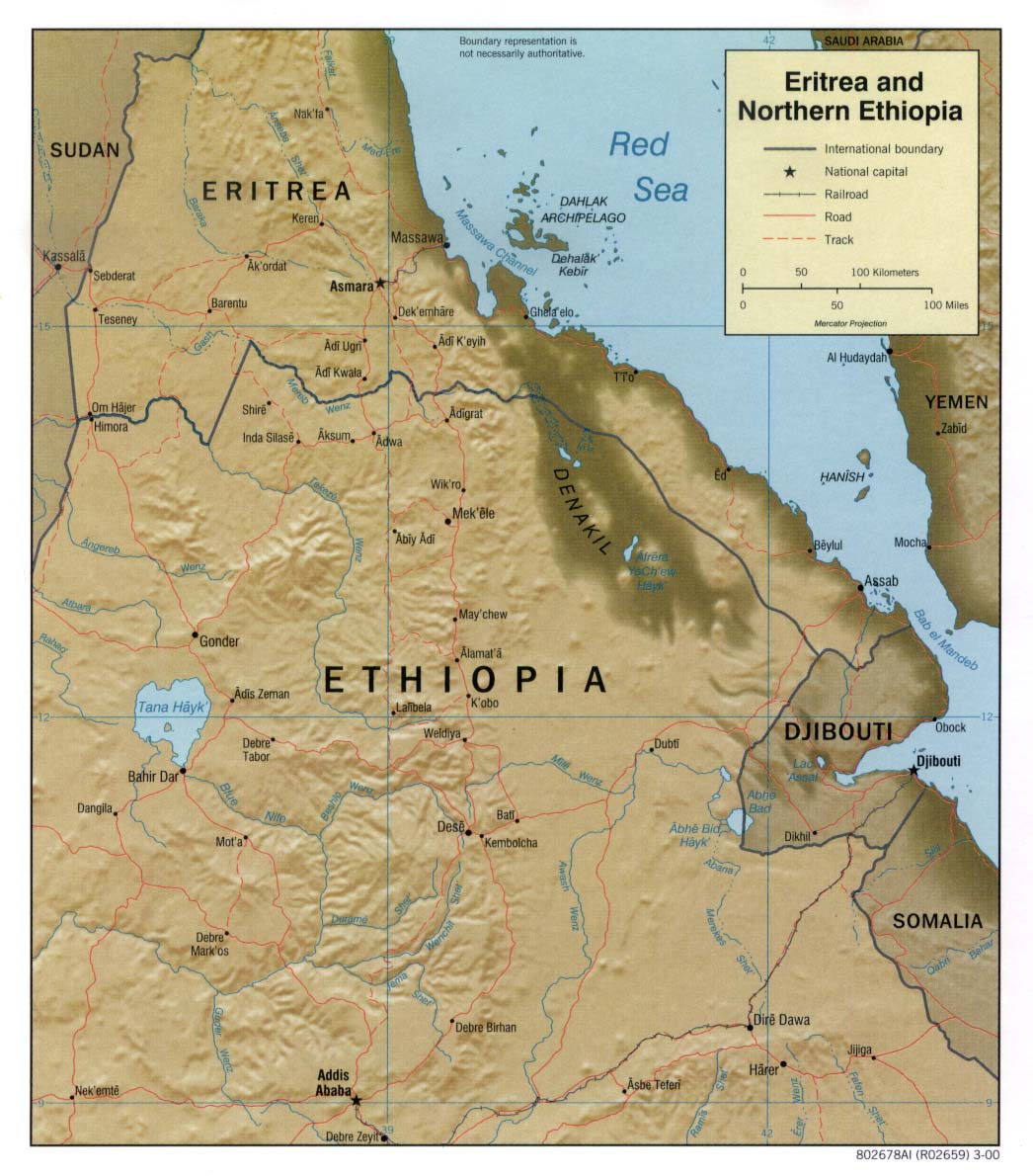
| Description | Shaded relief map of Eritrea. | |||
| Date | ||||
| Source | [1] from the Perry-Castañeda Library Map Collection. | |||
| Author | CIA | |||
| Permission (Reusing this file) |
|
|||
| Other versions |


![[1]](http://www.lib.utexas.edu/maps/africa/eritrea_ethiopia_rel2000.jpg)
File history
Click on a date/time to view the file as it appeared at that time.
| Date/Time | Thumbnail | Dimensions | User | Comment | |
|---|---|---|---|---|---|
| current | 11:20, 22 February 2006 | | 1,046 × 1,190 (184 KB) | Lupo (talk | contribs) | Shaded relief map of Eritrea. Source: [http://www.lib.utexas.edu/maps/africa/eritrea_ethiopia_rel2000.jpg] from the [http://www.lib.utexas.edu/maps/eritrea.html Perry-Castañeda Library Map Collection]. {{PD-USGov-CIA}} Category:Maps of Eritrea |
You cannot overwrite this file.
File usage on Commons
The following 2 pages use this file:
File usage on other wikis
The following other wikis use this file:
- Usage on bn.wikipedia.org
- Usage on ca.wikipedia.org
- Usage on ckb.wikipedia.org
- Usage on de.wikipedia.org
- Usage on en.wikipedia.org
- Usage on fa.wikipedia.org
- Usage on gd.wikipedia.org
- Usage on hr.wiktionary.org
- Usage on id.wikipedia.org
- Usage on it.wikipedia.org
- Usage on it.wikibooks.org
- Usage on ka.wikipedia.org
- Usage on mzn.wikipedia.org
- Usage on nl.wikipedia.org
- Usage on pl.wikipedia.org
- Usage on ru.wikipedia.org
- Usage on uk.wikipedia.org
- Usage on www.wikidata.org