File:Epsom Common, Great Pond - geograph.org.uk - 1054352.jpg
Jump to navigation
Jump to search
No higher resolution available.
Epsom_Common,_Great_Pond_-_geograph.org.uk_-_1054352.jpg (640 × 480 pixels, file size: 65 KB, MIME type: image/jpeg)
Captions
Captions
Add a one-line explanation of what this file represents
Summary
[edit]| Description |
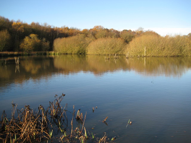
English: Epsom Common: Great Pond Great Pond is, as its name suggests, the largest of several ponds on the common. It was probably excavated in mediaeval times by the monks of the Abbey of Chertsey who originally owned the common, and they probably enlarged and formalized a natural depression that gathered water on the thick layer of impermeable London Clay that underlies the area. Today fishing is prohibited in this pond in order to encourage wildlife. |
||
| Date | |||
| Source | From geograph.org.uk | ||
| Author | Nigel Cox | ||
| Permission (Reusing this file) |
This file is licensed under the Creative Commons Attribution-Share Alike 2.0 Generic license. Attribution: Nigel Cox
|
||
| Attribution (required by the license) | Nigel Cox / Epsom Common: Great Pond / | ||

| Camera location | | View this and other nearby images on: OpenStreetMap |
|---|
_heading:292.00&language=en)
| Object location | | View this and other nearby images on: OpenStreetMap |
|---|
_heading:292.00&language=en)
File history
Click on a date/time to view the file as it appeared at that time.
| Date/Time | Thumbnail | Dimensions | User | Comment | |
|---|---|---|---|---|---|
| current | 00:33, 24 February 2011 | | 640 × 480 (65 KB) | GeographBot (talk | contribs) | == {{int:filedesc}} == {{Information |description={{en|1=Epsom Common: Great Pond Great Pond is, as its name suggests, the largest of several ponds on the common. It was probably excavated in mediaeval times by the monks of the Abbey of Chertsey who origi |
You cannot overwrite this file.
File usage on Commons
There are no pages that use this file.
File usage on other wikis
The following other wikis use this file:
- Usage on en.wikipedia.org