File:Entrance to RAF Barnham - geograph.org.uk - 4703233.jpg
Jump to navigation
Jump to search
No higher resolution available.
Entrance_to_RAF_Barnham_-_geograph.org.uk_-_4703233.jpg (640 × 480 pixels, file size: 60 KB, MIME type: image/jpeg)
Captions
Captions
Add a one-line explanation of what this file represents
Summary
[edit]
| Description |
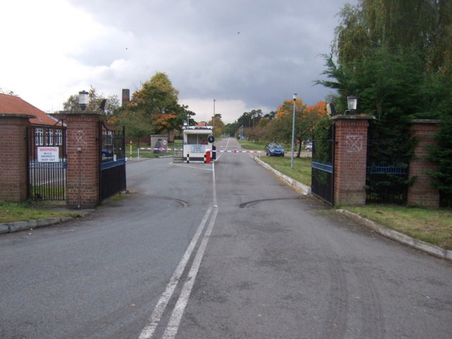
English: The A134 road runs for 71 miles between Colchester, in Essex, and Tottenhill, a few miles to the south of King's Lynn, in Norfolk. Other towns on the A134 road include Sudbury, Bury St. Edmunds and Thetford.
The A134 used to be the main route for commercial traffic from the North to the port of Felixstowe; however since the construction of the A14 very little commercial traffic uses it. |
| Date | |
| Source | https://www.geograph.org.uk/photo/4703233 |
| Author | JThomas |
| Attribution (required by the license) | JThomas / Entrance to RAF Barnham / |
| Camera location | | View this and other nearby images on: OpenStreetMap |
|---|
_region:GB-ENG_heading:247.00&language=en)
| Object location | | View this and other nearby images on: OpenStreetMap |
|---|
_region:GB-ENG_heading:247.00&language=en)
Licensing
[edit]

|
This image was taken from the Geograph project collection. See this photograph's page on the Geograph website for the photographer's contact details. The copyright on this image is owned by JThomas and is licensed for reuse under the Creative Commons Attribution-ShareAlike 2.0 license.
|
This file is licensed under the Creative Commons Attribution-Share Alike 2.0 Generic license.
Attribution: JThomas
- You are free:
- to share – to copy, distribute and transmit the work
- to remix – to adapt the work
- Under the following conditions:
- attribution – You must give appropriate credit, provide a link to the license, and indicate if changes were made. You may do so in any reasonable manner, but not in any way that suggests the licensor endorses you or your use.
- share alike – If you remix, transform, or build upon the material, you must distribute your contributions under the same or compatible license as the original.
File history
Click on a date/time to view the file as it appeared at that time.
| Date/Time | Thumbnail | Dimensions | User | Comment | |
|---|---|---|---|---|---|
| current | 10:14, 24 February 2021 | | 640 × 480 (60 KB) | SmartyPants22 (talk | contribs) | Uploaded a work by [https://www.geograph.org.uk/profile/35313 JThomas] from https://www.geograph.org.uk/photo/4703233 with UploadWizard |
You cannot overwrite this file.
File usage on Commons
There are no pages that use this file.
File usage on other wikis
The following other wikis use this file:
- Usage on en.wikipedia.org