File:Entrance to Cranbrook, Bloomfield Hills, Michigan (14207188181).jpg

Original file (2,509 × 1,882 pixels, file size: 3.67 MB, MIME type: image/jpeg)
Captions
Captions
Summary
[edit].jpg&action=edit§ion=1)
| Description |
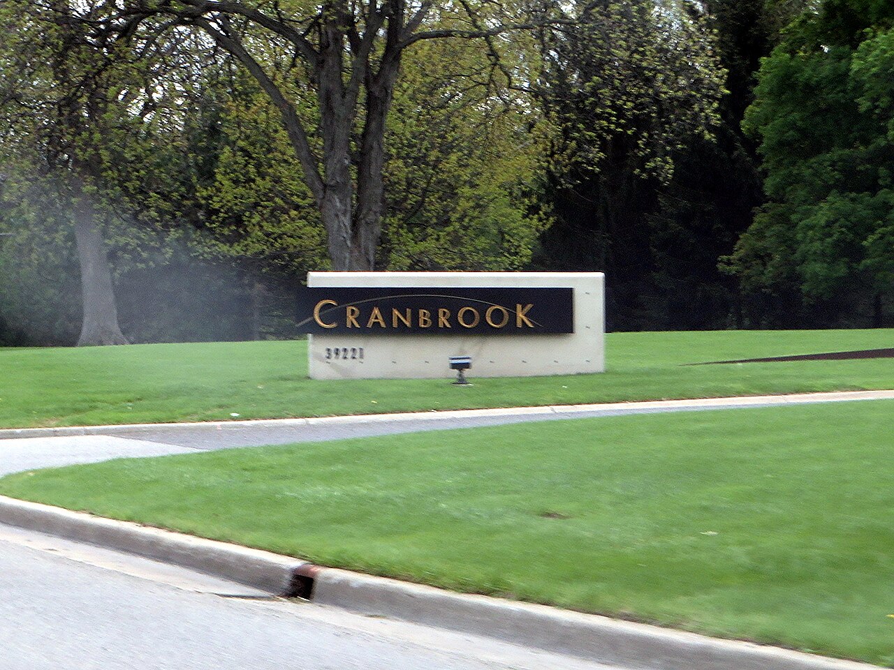
Cranbrook Schools is a private, PK–12 preparatory school located on a 319-acre (1.29 km2) campus in Bloomfield Hills, Michigan. The schools comprise a co-educational elementary school, a middle school with separate schools for boys and girls, and a co-educational high school with boarding facilities. Cranbrook Schools is part of the Cranbrook Educational Community (CEC), which includes the Cranbrook Institute of Science, the Cranbrook Academy of Art, and Cranbrook House and Gardens. (Nearby Christ Church Cranbrook remains outside this formal structure.) The Cranbrook community was established by publishing mogul George Booth, who bought the site of today's Cranbrook community in 1904. Cranbrook was designated a National Historic Landmark on June 29, 1989 for its significant architecture and design. It attracts tourists from around the world. Approximately 40 acres (160,000 m2) of Cranbrook Schools' campus are gardens. As of 2013, Cranbrook Schools had an endowment of $217 million, among the 15 largest held by America's boarding schools. In addition, the Cranbrook Educational Community, of which the Schools is a member, has an endowment in excess of $300 million. <a href="http://en.wikipedia.org/wiki/Cranbrook_Schools" rel="nofollow">en.wikipedia.org/wiki/Cranbrook_Schools</a> <a href="http://en.wikipedia.org/wiki/Wikipedia:Text_of_Creative_Commons_Attribution-ShareAlike_3.0_Unported_License" rel="nofollow">en.wikipedia.org/wiki/Wikipedia:Text_of_Creative_Commons_...</a> |
| Date | |
| Source | Entrance to Cranbrook, Bloomfield Hills, Michigan |
| Author | Ken Lund from Reno, Nevada, USA |
| Camera location | | View this and other nearby images on: OpenStreetMap |
|---|
.jpg¶ms=042.577912_N_-083.239996_E_globe:Earth_type:camera_source:Flickr_&language=en)
Licensing
[edit].jpg&action=edit§ion=2)
- You are free:
- to share – to copy, distribute and transmit the work
- to remix – to adapt the work
- Under the following conditions:
- attribution – You must give appropriate credit, provide a link to the license, and indicate if changes were made. You may do so in any reasonable manner, but not in any way that suggests the licensor endorses you or your use.
- share alike – If you remix, transform, or build upon the material, you must distribute your contributions under the same or compatible license as the original.
| This image was originally posted to Flickr by Ken Lund at https://flickr.com/photos/75683070@N00/14207188181. It was reviewed on 8 November 2020 by FlickreviewR 2 and was confirmed to be licensed under the terms of the cc-by-sa-2.0. |
File history
Click on a date/time to view the file as it appeared at that time.
| Date/Time | Thumbnail | Dimensions | User | Comment | |
|---|---|---|---|---|---|
| current | 19:28, 8 November 2020 | | 2,509 × 1,882 (3.67 MB) | Orizan (talk | contribs) | Transferred from Flickr via #flickr2commons |
You cannot overwrite this file.
File usage on Commons
There are no pages that use this file.
.jpg&oldid=734872334)