File:English Partnerships sign - geograph.org.uk - 817497.jpg
Jump to navigation
Jump to search
No higher resolution available.
English_Partnerships_sign_-_geograph.org.uk_-_817497.jpg (640 × 480 pixels, file size: 107 KB, MIME type: image/jpeg)
Captions
Captions
Add a one-line explanation of what this file represents
Summary
[edit]
| Description |
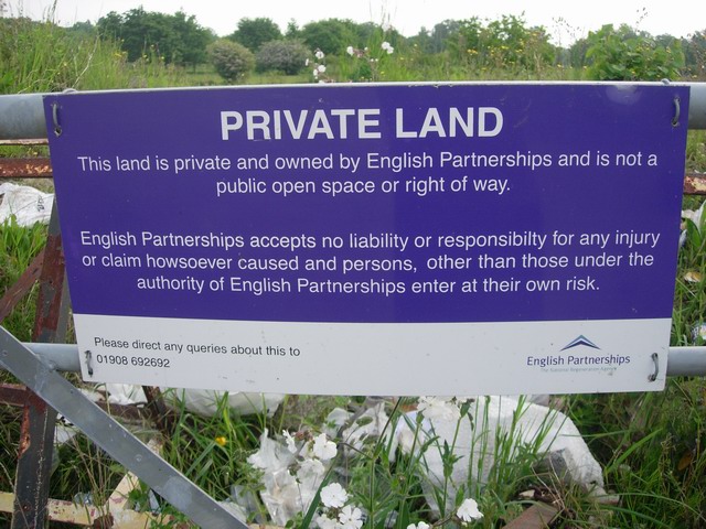
English: English Partnerships sign. The private area is an old RAF airfield 817495. It is therefore mostly grass but planning-wise it is all a brownfield site. English Partnerships is the government redevelopment agency - the plan is for this area to become the new town of Northstowe: http://www.scambs.gov.uk/Environment/Planning/NewDevelopments/Northstowe/ . The Guided Busway is being built along the other side of the site and the A14 is only a couple of miles away so it will have good transport links. |
| Date | |
| Source | From geograph.org.uk |
| Author | Hugh Venables |
| Attribution (required by the license) | Hugh Venables / English Partnerships sign / |
| Camera location | | View this and other nearby images on: OpenStreetMap |
|---|
_heading:67.00&language=en)
| Object location | | View this and other nearby images on: OpenStreetMap |
|---|
_heading:67.00&language=en)
Licensing
[edit]

|
This image was taken from the Geograph project collection. See this photograph's page on the Geograph website for the photographer's contact details. The copyright on this image is owned by Hugh Venables and is licensed for reuse under the Creative Commons Attribution-ShareAlike 2.0 license.
|
This file is licensed under the Creative Commons Attribution-Share Alike 2.0 Generic license.
Attribution: Hugh Venables
- You are free:
- to share – to copy, distribute and transmit the work
- to remix – to adapt the work
- Under the following conditions:
- attribution – You must give appropriate credit, provide a link to the license, and indicate if changes were made. You may do so in any reasonable manner, but not in any way that suggests the licensor endorses you or your use.
- share alike – If you remix, transform, or build upon the material, you must distribute your contributions under the same or compatible license as the original.
File history
Click on a date/time to view the file as it appeared at that time.
| Date/Time | Thumbnail | Dimensions | User | Comment | |
|---|---|---|---|---|---|
| current | 11:52, 20 February 2011 | | 640 × 480 (107 KB) | GeographBot (talk | contribs) | == {{int:filedesc}} == {{Information |description={{en|1=English Partnerships sign The private area is an old RAF airfield 817495. It is therefore mostly grass but planning-wise it is all a brownfield site. English Partnerships is the government redev |
You cannot overwrite this file.
File usage on Commons
There are no pages that use this file.