File:Ellesponto map-es.svg
Jump to navigation
Jump to search

Size of this PNG preview of this SVG file: 718 × 599 pixels. Other resolutions: 288 × 240 pixels | 575 × 480 pixels | 920 × 768 pixels | 1,227 × 1,024 pixels | 2,453 × 2,048 pixels | 848 × 708 pixels.
Original file (SVG file, nominally 848 × 708 pixels, file size: 3.19 MB)
Captions
Captions
Add a one-line explanation of what this file represents
Summary
[edit]
| Description |
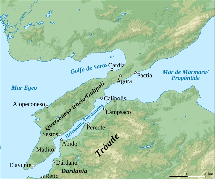
Português: Mapa do Helesponto |
| Date | |
| Source | Ellesponto map-pt.svg |
| Author |
|
Licensing
[edit]
This file is licensed under the Creative Commons Attribution-Share Alike 3.0 Unported license.
- You are free:
- to share – to copy, distribute and transmit the work
- to remix – to adapt the work
- Under the following conditions:
- attribution – You must give appropriate credit, provide a link to the license, and indicate if changes were made. You may do so in any reasonable manner, but not in any way that suggests the licensor endorses you or your use.
- share alike – If you remix, transform, or build upon the material, you must distribute your contributions under the same or compatible license as the original.
File history
Click on a date/time to view the file as it appeared at that time.
| Date/Time | Thumbnail | Dimensions | User | Comment | |
|---|---|---|---|---|---|
| current | 21:49, 2 May 2020 | | 848 × 708 (3.19 MB) | Rowanwindwhistler (talk | contribs) | New Version. Rivers from Natural Earth. Relief, coast & lakes SRTM Void Filles & STRM Water Body Data. Projection EPSG 2181. |
| 05:29, 13 July 2017 |  | 1,593 × 1,549 (230 KB) | Rowanwindwhistler (talk | contribs) | User created page with UploadWizard |
You cannot overwrite this file.
File usage on Commons
The following 2 pages use this file:
File usage on other wikis
The following other wikis use this file:
- Usage on en.wikipedia.org
- Usage on es.wikipedia.org
- Usage on fr.wikipedia.org