File:Elenydd Landscape, from near Esgair Llethr, Ceredigion - geograph.org.uk - 517299.jpg
Jump to navigation
Jump to search

Size of this preview: 800 × 564 pixels. Other resolutions: 320 × 226 pixels | 640 × 451 pixels | 1,024 × 722 pixels | 1,280 × 902 pixels | 1,600 × 1,128 pixels.
Original file (1,600 × 1,128 pixels, file size: 1.53 MB, MIME type: image/jpeg)
Captions
Captions
Add a one-line explanation of what this file represents
Summary
[edit]
| Description |
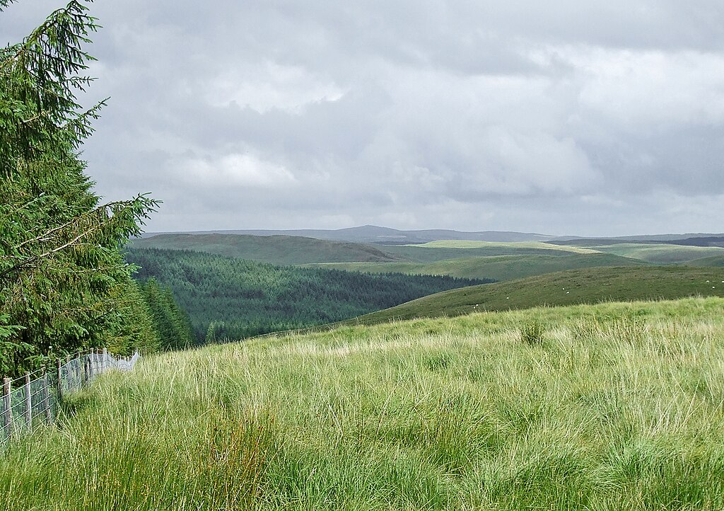
English: Elenydd Landscape, from near Esgair Llethr, Ceredigion Before the advent of widespread coniferous plantations, maybe most of the Elenydd looked more like this. The peak on the skyline is (I think) the 500 metre triangulation point on Cefn Coch, SN8253, six miles (ten kilometres) to the east. |
| Date | |
| Source | From geograph.org.uk |
| Author | Roger Kidd |
| Attribution (required by the license) | Roger Kidd / Elenydd Landscape, from near Esgair Llethr, Ceredigion / |
| Camera location | | View this and other nearby images on: OpenStreetMap |
|---|
_heading:90.00&language=en)
| Object location | | View this and other nearby images on: OpenStreetMap |
|---|
_heading:90.00&language=en)
Licensing
[edit]

|
This image was taken from the Geograph project collection. See this photograph's page on the Geograph website for the photographer's contact details. The copyright on this image is owned by Roger Kidd and is licensed for reuse under the Creative Commons Attribution-ShareAlike 2.0 license.
|
This file is licensed under the Creative Commons Attribution-Share Alike 2.0 Generic license.
Attribution: Roger Kidd
- You are free:
- to share – to copy, distribute and transmit the work
- to remix – to adapt the work
- Under the following conditions:
- attribution – You must give appropriate credit, provide a link to the license, and indicate if changes were made. You may do so in any reasonable manner, but not in any way that suggests the licensor endorses you or your use.
- share alike – If you remix, transform, or build upon the material, you must distribute your contributions under the same or compatible license as the original.
File history
Click on a date/time to view the file as it appeared at that time.
| Date/Time | Thumbnail | Dimensions | User | Comment | |
|---|---|---|---|---|---|
| current | 07:16, 30 July 2023 | | 1,600 × 1,128 (1.53 MB) | Geograph Update Bot (talk | contribs) | Higher-resolution version from Geograph |
| 12:28, 5 February 2011 |  | 640 × 451 (148 KB) | GeographBot (talk | contribs) | == {{int:filedesc}} == {{Information |description={{en|1=Elenydd Landscape, from near Esgair Llethr, Ceredigion Before the advent of widespread coniferous plantations, maybe most of the Elenydd looked more like this. The peak on the skyline is (I think) t |
You cannot overwrite this file.
File usage on Commons
There are no pages that use this file.