File:Elektrifizierte Bahnlinien in Schlesien bis 1939.png
Jump to navigation
Jump to search
Size of this preview: 678 × 600 pixels. Other resolutions: 271 × 240 pixels | 543 × 480 pixels | 868 × 768 pixels | 1,158 × 1,024 pixels | 1,500 × 1,327 pixels.
Original file (1,500 × 1,327 pixels, file size: 557 KB, MIME type: image/png)
Captions
Captions
Add a one-line explanation of what this file represents
| Description |
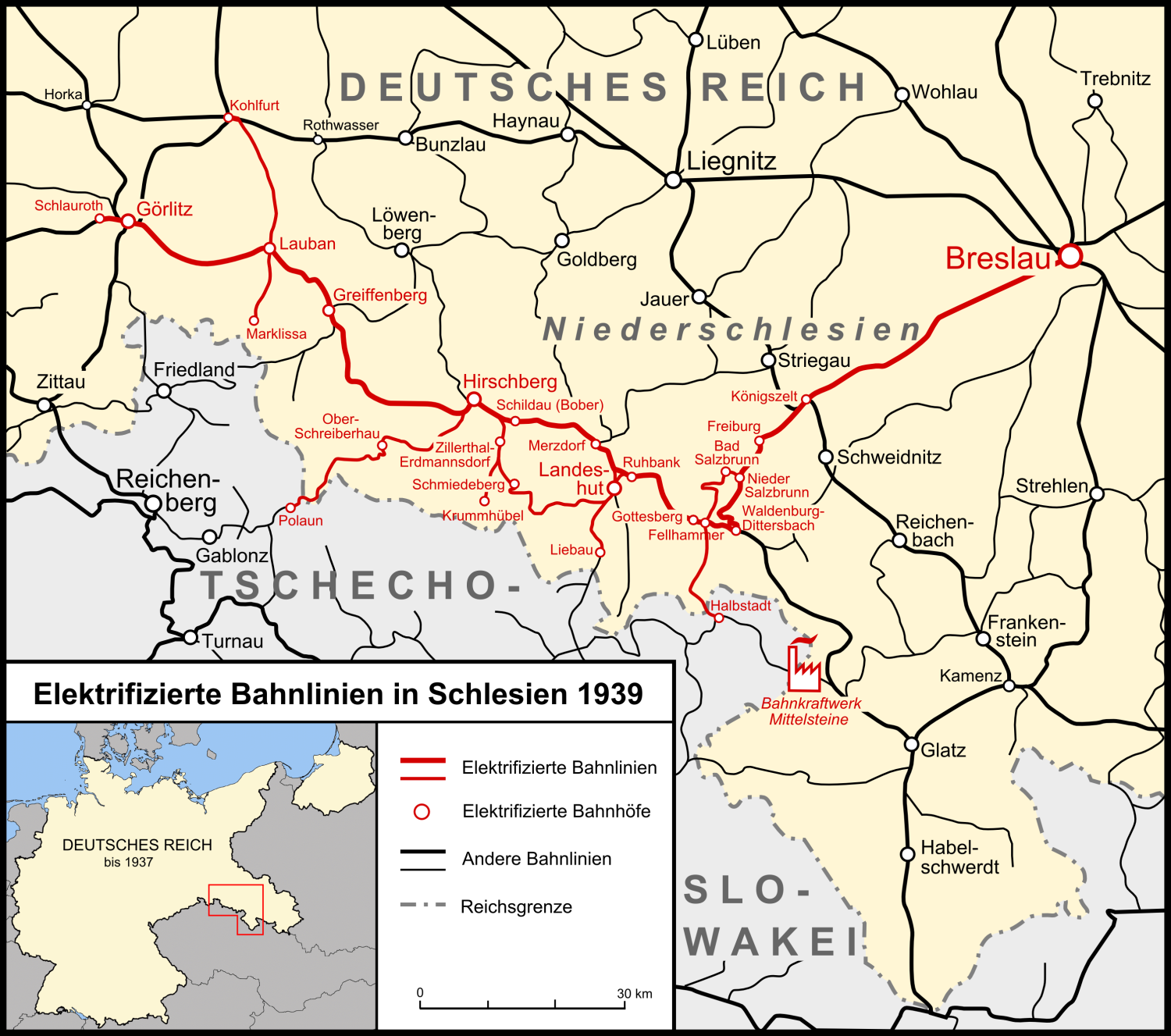
Elektrifizierte Bahnlinien in Schlesien bis 1939 English: Map of the railway network in Silesia and adjacent regions. Electrified lines in red, non-electrified lines in black. Please note the border of Czechoslovakia was shifted in 1938 (not shown on this map) and in March 1939 Czechoslovakia ceased to exist. |
| Date | |
| Source | own work, used this map from http://www.deutschlanddokumente.de |
| Author | Lencer |

|
This map has been made or improved in the German Kartenwerkstatt (Map Lab). You can propose maps to improve as well.
|
This file is licensed under the Creative Commons Attribution-Share Alike 3.0 Unported license.
- You are free:
- to share – to copy, distribute and transmit the work
- to remix – to adapt the work
- Under the following conditions:
- attribution – You must give appropriate credit, provide a link to the license, and indicate if changes were made. You may do so in any reasonable manner, but not in any way that suggests the licensor endorses you or your use.
- share alike – If you remix, transform, or build upon the material, you must distribute your contributions under the same or compatible license as the original.

|
This transport map image could be re-created using vector graphics as an SVG file. This has several advantages; see Commons:Media for cleanup for more information. If an SVG form of this image is available, please upload it and afterwards replace this template with
{{vector version available|new image name}}.
It is recommended to name the SVG file “Elektrifizierte Bahnlinien in Schlesien bis 1939.svg”—then the template Vector version available (or Vva) does not need the new image name parameter. |
File history
Click on a date/time to view the file as it appeared at that time.
| Date/Time | Thumbnail | Dimensions | User | Comment | |
|---|---|---|---|---|---|
| current | 17:19, 1 August 2015 | | 1,500 × 1,327 (557 KB) | Kopiersperre (talk | contribs) | optipng |
| 20:25, 19 November 2007 |  | 1,500 × 1,327 (735 KB) | Lencer (talk | contribs) | ||
| 14:22, 19 November 2007 |  | 1,500 × 1,327 (736 KB) | Lencer (talk | contribs) | ||
| 18:23, 18 November 2007 |  | 1,500 × 1,327 (735 KB) | Lencer (talk | contribs) | ||
| 11:49, 18 November 2007 |  | 1,500 × 1,327 (811 KB) | Lencer (talk | contribs) | ||
| 21:54, 14 November 2007 |  | 1,500 × 1,327 (521 KB) | Lencer (talk | contribs) | ||
| 19:51, 14 November 2007 |  | 1,500 × 1,007 (606 KB) | Lencer (talk | contribs) | ||
| 13:09, 13 November 2007 |  | 1,500 × 1,007 (423 KB) | Devilm25 (talk | contribs) | new version | |
| 17:20, 12 November 2007 |  | 1,500 × 1,007 (372 KB) | Lencer (talk | contribs) | ||
| 17:19, 12 November 2007 |  | 2,977 × 1,999 (725 KB) | Lencer (talk | contribs) | {{Information| |Description= Elektrifizierte Bahnlinien in Schlesien bis 1939 |Source=own work, used [http://www.deutschlanddokumente.de/Bilder/krtSchlesien02.jpg this map] from http://www.deutschlanddokumente.de |
You cannot overwrite this file.
File usage on Commons
There are no pages that use this file.
File usage on other wikis
The following other wikis use this file:
- Usage on de.wikipedia.org
- Usage on en.wikipedia.org
Metadata
Categories:
- Rail transport maps of Poland
- Maps of the Lower Silesian Voivodeship
- Rail transport maps of Prussia
- Rail transport electrification maps
- Electric railway lines
- Electrically-powered rail transport (infrastructure)
- Electrically-powered rail transport in Germany 1920 - 1945
- Maps of Silesia Province
- Śląska Kolej Górska