File:El Con water tower (Tucson) top from ESE 1.JPG
Jump to navigation
Jump to search

Size of this preview: 574 × 600 pixels. Other resolutions: 230 × 240 pixels | 459 × 480 pixels | 735 × 768 pixels | 980 × 1,024 pixels | 1,343 × 1,403 pixels.
Original file (1,343 × 1,403 pixels, file size: 555 KB, MIME type: image/jpeg)
Captions
Captions
Add a one-line explanation of what this file represents
|
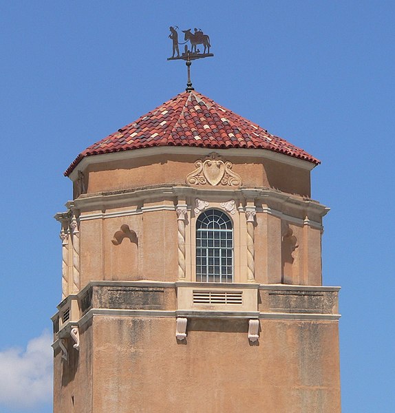
This is an image of a place or building that is listed on the National Register of Historic Places in the United States of America. Its reference number is 80000771. |
Summary
[edit]_top_from_ESE_1.JPG&action=edit§ion=1)
| Description |
English: Upper portion of El Conquistador water tower, located southwest of the intersection of Broadway and Randolph in Tucson, Arizona; seen from the east-southeast. |
| Date | |
| Source | Own work |
| Author | Ammodramus |
| Object location | | View this and other nearby images on: OpenStreetMap |
|---|
_top_from_ESE_1.JPG¶ms=032.220590_N_-110.919180_E_globe:Earth_class:object_region:US_type:landmark_scale:1500_&language=en)
Licensing
[edit]_top_from_ESE_1.JPG&action=edit§ion=2)
I, the copyright holder of this work, hereby publish it under the following license:
| This file is made available under the Creative Commons CC0 1.0 Universal Public Domain Dedication. | |
| The person who associated a work with this deed has dedicated the work to the public domain by waiving all of their rights to the work worldwide under copyright law, including all related and neighboring rights, to the extent allowed by law. You can copy, modify, distribute and perform the work, even for commercial purposes, all without asking permission.
|
File history
Click on a date/time to view the file as it appeared at that time.
| Date/Time | Thumbnail | Dimensions | User | Comment | |
|---|---|---|---|---|---|
| current | 16:07, 11 August 2012 | | 1,343 × 1,403 (555 KB) | Ammodramus (talk | contribs) |
You cannot overwrite this file.
File usage on Commons
There are no pages that use this file.
File usage on other wikis
The following other wikis use this file:
_top_from_ESE_1.JPG&oldid=542468746)