File:ElSenador.JPG
Jump to navigation
Jump to search

Size of this preview: 450 × 600 pixels. Other resolutions: 180 × 240 pixels | 360 × 480 pixels | 576 × 768 pixels | 1,200 × 1,600 pixels.
Original file (1,200 × 1,600 pixels, file size: 824 KB, MIME type: image/jpeg)
Captions
Captions
Add a one-line explanation of what this file represents
Summary
[edit]
| Description |
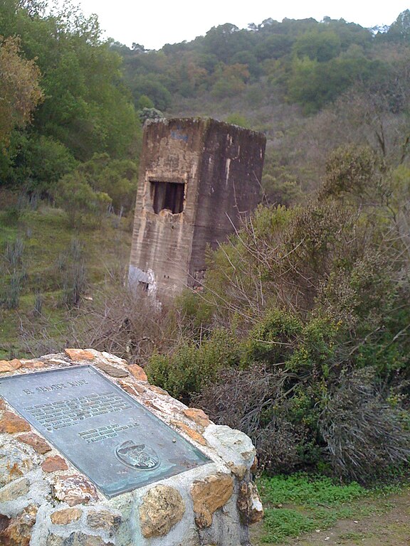
English: The Senator Mine Trail is a short (.8 mile), easy trail that starts at the McAbee Road entrance and passes by the ruins of the Senador Mine.
|
| Date | 1/2/09 |
| Source | Almaden Quicksilver Park, Senador Mine Trail, San Jose, CA |
| Author | Marie Sontag |
| Camera location | | View this and other nearby images on: OpenStreetMap |
|---|
http://pages.prodigy.net/rhorii/sccparks.htm archive copy at the Wayback Machine
Licensing
[edit]
| I, the copyright holder of this work, release this work into the public domain. This applies worldwide. In some countries this may not be legally possible; if so: I grant anyone the right to use this work for any purpose, without any conditions, unless such conditions are required by law. |
File history
Click on a date/time to view the file as it appeared at that time.
| Date/Time | Thumbnail | Dimensions | User | Comment | |
|---|---|---|---|---|---|
| current | 21:45, 2 January 2009 | | 1,200 × 1,600 (824 KB) | Mesontag (talk | contribs) | {{Information |Description={{en|1=The Senator Mine Trail is a short (.8 mile), easy trail that starts at the McAbee Road entrance and passes by the ruins of the Senador Mine. Pictured here is one of the concrete ruins you can view from the trial that was |
You cannot overwrite this file.
File usage on Commons
There are no pages that use this file.